Canna Lily next to the Woy Woy to Gosford Cycleway. Perennially popular garden plants these and I only just found out what they're called. Quick, aren't I?

(Embiggen to embiggest)
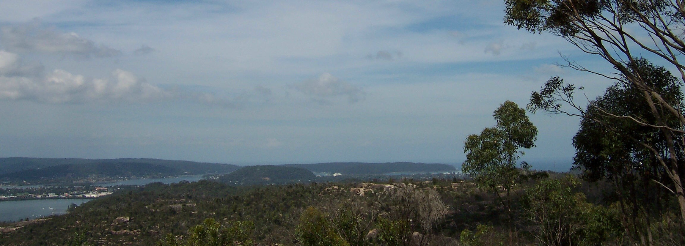
In the foreground you can see the trees still not fully recovered from the Boxing Day 2006 bushfires. Normally they're back on their feet in no time but they've had fuck-all rain since then, what with the drought and all.
Stretching across the background you've got the Tasman Sea (visible through the tree on the left) and the Bouddi Peninsula.
The Bouddi contains, in order from Maitland Bay (Tasman Sea side) round to Hardys (Brisbane Water side):
The Bouddi (Bouddi National Park, from Macmasters Beach to Box Head)
Killcare Heights
Gerrin Point
Putty Beach
Killcare
Tallow Beach & Little Tallow Beach
Box Head (at the mouth of Broken Bay)
Iron Ladder Beach
Lobster Beach
Half Tide Rocks
Wagstaffe
Pretty Beach
Hardys Bay
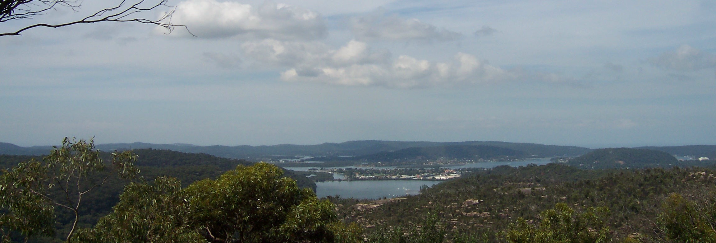
From the right, between Box Head and Blackwall Mountain, you've got Ettalong and The Excrescence (white blob), Blackwall Mountain, very faintly on its left The Rip Bridge, Daleys Point at the left end of the bridge, Rileys Island (uninhabited) in fron of Daleys, and between Rileys and the foreground, Bustling Downtown Woy Woy.

(Embiggen to embiggest)
From Kincumba Mountain coming into it on the far left and The Excrescence, that blot on the landscape, on the far right.
Similar view but more of Woy Woy and Pelican Island visible there in the middle distance on the left. Then it's up into the Kincumber Broadwater via Cockle Channel and, behind the Broadwater, the hills separating Kincumber (Brisbane Water side) from Macmasters Beach (Tasman Sea side).
Stakles Lookout is on the Woy Woy Road about 2.5 kays from the Phegans Bay turn-off. It's yer left if you're coming from Gosford. Keep an eye out because the traffic will be up your arse and you've got buckley's of doing a U-ey along there.