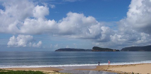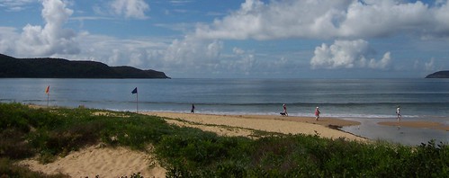
Always charge yer bloody camera before going walkies. I bloody well forgot and the bastard died on me one photo in. Nothing worked. No amount resting it, no amount of swearing at and threatening to gouge out its USB port with a rusty knife, nothing worked.
But the sky is blue and the water is a very nice shade. It was a warm day. Spring has not sprung this year and we've gone straight from a mild winter into a red hot summer.
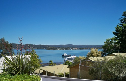
This was taken from a nameless laneway off Avoca Drive between Merindah Avenue and Edgewater Avenue, on the water side of Avoca Drive.
About Green Point
From the history obelisk thingo (Green Point 1789) we know when Green Point was settled by whitefellas and the name of the first one:
"This spot is on the original grant of
640 acres of Crown land
Promised to John H. Edwards
By Sir Ralph Darling in 1829
And granted on 30.9.1839
To Major Henry Smyth who called it
GREEN POINT"
The local history whatsit at the library has some stats:
"1788 - The true extent of the Aboriginal population in the Brisbane Water District is unknown, however it is estimated that several hundred people lived in the area before white settlement.
1823 - James Webb, the first white settler of Brisbane Water, takes up land at The Rip.
1828 - The Census of 1828 records approximately 100 persons in the Brisbane Water Police District, which included Lake Macquarie, Brisbane Water and Lower Portland Head. This figure did not record the number of aboriginal persons, however a census of aboriginals in Brisbane Water taken in the same year records 65 persons between the Hawkesbury River and Wyong. This figure is increasingly believed to underestimate severely the native population, which may have numbered several hundred.
1836 - 621 persons
...
1901 - 7,186 (Census)
...
1947 - 18,700
...
2001 - 161,204 - (Preliminary estimate)"
So 3 years before the major got his land, there was 621 whitefellas and perhaps the same amount of blackfellas living round the whole of Brisbane Water. Not what you'd call a crowd.
On the "1843 Brisbane Water list of Electors" a "Smyth, Henry (Major)" is listed as having "Freehold" on a property at "Broadwater".
Bear in mind that "Broadwater" is not The Broadwater, up between Fagans Bay and Point Frederick on yer 2009 map of Brisbane Water, or even Kincumber Broadwater. It's a vague and confusing term that was applied to pretty much everywhere on Brisbane Water at some point in the past.
In Greville's Official Post Office Directory NSW - 1872 there's no-one listed as living at Green Point but some of the names on the list of locations don't exist anymore (the names not the locations) and some are extremely vague.
In 1882, waterfront land and big fat blocks were being sold at Green Point as "Suitable for Country Residences, Villa Sites and Farms".
In 1911, another land sale has a map of Green Point showing 2 existing waterfront cottages, Green Point Wharf, Green Point Post Office, three un-named streets and Avoca Drive down as "Kincumber Road". Looks like the 1882 land auction made bugger-all impact.
The un-named road leading to the wharf looks like the current Orana Street, just near the Bayside Drive lights.
Have yerself a gander at the Sub-division maps for Green Point and Kincumber, which borders on Green Point in the north.
Nowadays Green Point is a thriving suburb-slash-village of the Greater Gosford/ the Gosford City Council area/ Brisbane Water district. Bustling Downtown Green Point is a supermarket, a bottle-shop (liquor store), a local history marker and a nice park, a teasing hair-dresser, a couple of estate agents and another shop I can't remember for the life of me.
Code Red
Most of New South Wales was on a total fire ban during the week, due to the drought and the wind and stuff.
Then the storms came on Friday and there were fires started here and there by lightning strikes. Nothing here, thank fuck, but summer ain't over yet. Hasn't even officially started.
Are you prepared to survive? - checklists & stuff at the RFS site
I've got me go bag sorted, like they said after Black Saturday. Photos, insurance policy, data back-up, towel, clean underpants. Grab and go.
Local linkage
My trek to Nepal - local bushwalker training for trekking
Kayaking Ettalong to Iron Ladder Beach - good photos, Iron Ladder is just near Box Head and the Palm Beach ferry goes quite near it.