[UPDATE 21-12-05: Can't believe I didn't post this already. I walked the bastard on the 2nd of December.]
The forecast promised "possibly violent" storms this afternoon and getting back from The Bays is a pain in the arse. So I thought, Fuck it, I'll start Point Clare and get home in time to enjoy these possibly violent storms in the comfort of my own home.
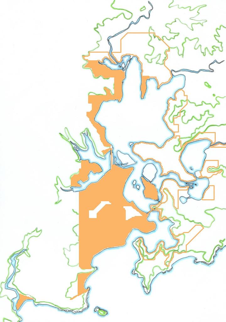
(
Big version)
Point Clare is piss easy to get to. Leap on any bus in the low 50s at Woy Woy station and leap off at Point Clare shops.
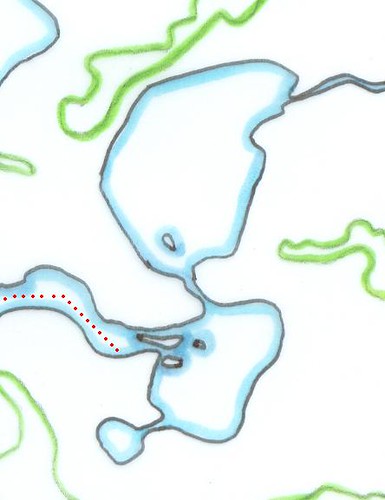
Point Clare is a squarish sort of peninsula with
Noonan Point at the Woy Woy end and Point Clare itself at the Gosford end.
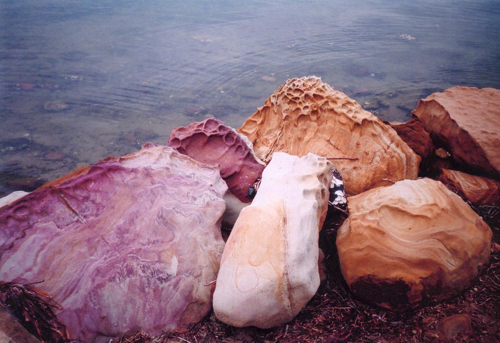
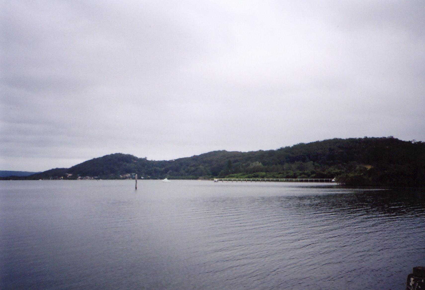
Noonan Point is nearly opposite the tip of Longnose (current name Point Frederick but it used to be called Longnose, which is a much more accurate name for its shape). At the end of Noonan Point Avenue there's a rough low sea wall. It's made from purple and orange and golden rocks like the ones along the
Woy Woy waterfront. There's ducks by the dozen there, an upturned kayak in the shallows, mangroves and rocks oysters and a long private jetty with a barbeque and a seat. The ducks were quacking and the water was slapping and gulping amongst the rocks.

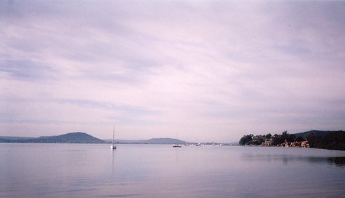
(
Big version)
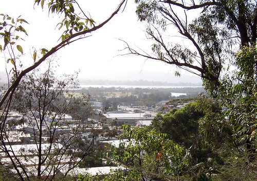
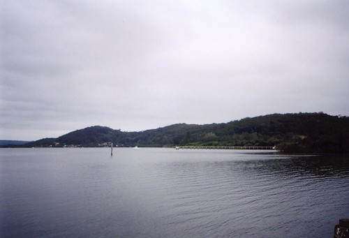
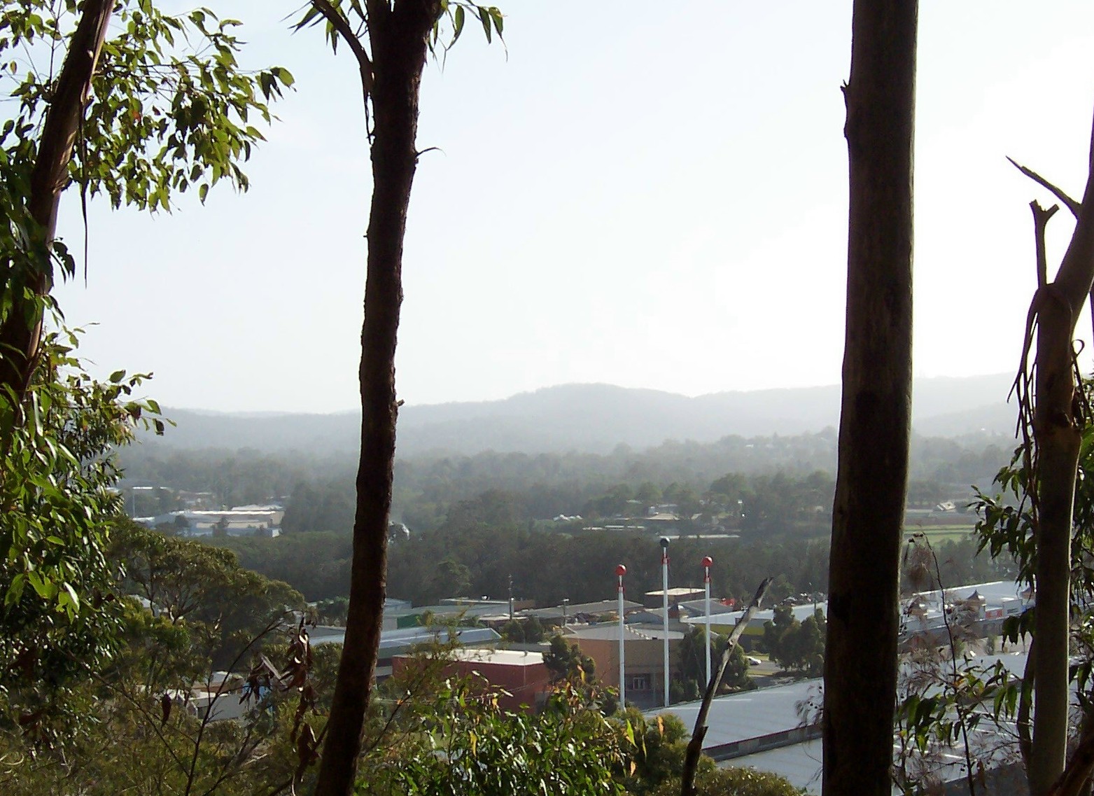
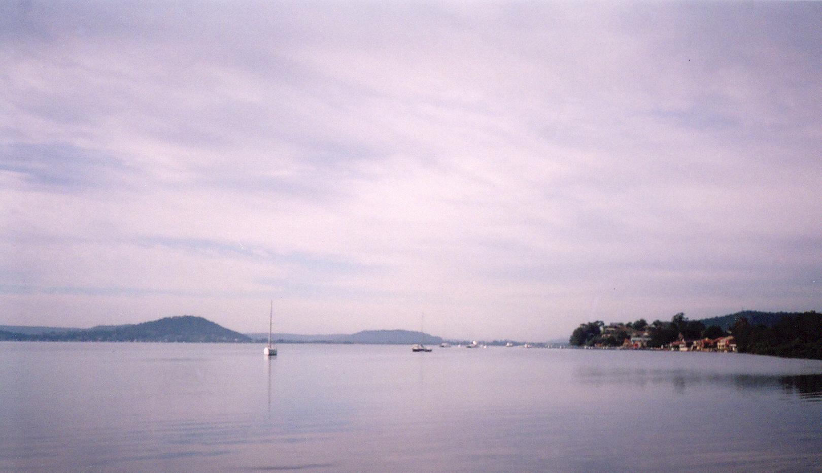
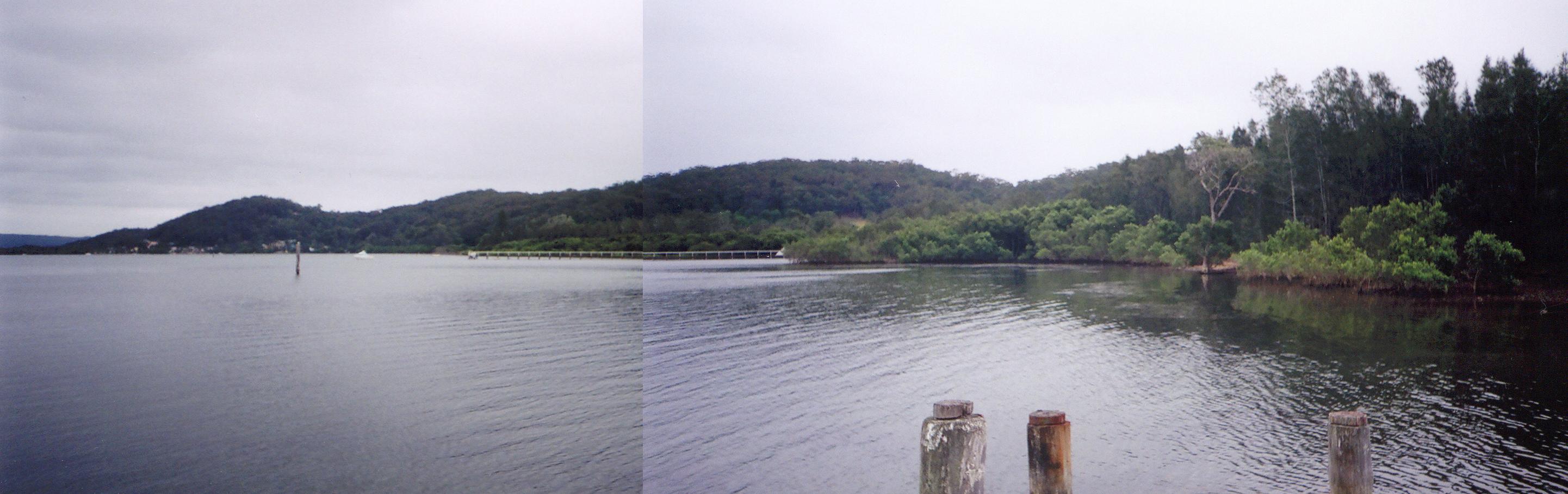
On my right was the ridge above Tascott and the houses at its foot. The ridge and Brisbane Water Drive curved away to the south and the ridge stopped at the Woy Woy end of Koolewong. The Woy Woy station area was hidden by the ridge but I could see the pines in the Memorial Park on Brick Wharf Road and Pelican Island low and green in front of them. To the left of the pines was the hulk of Blackwall Mountain. It's a funny bugger. Looks like a small hill from close up but the further away you are the bigger it looks. One of them optical illusions I expect, haze and all that. Anyways, to the left of Pelican Island and in front of Blackwall Mtn, there's that little mangrove islet at the tip of Saratoga then the steep hill of Saratoga itself. And between it and Blackwall Mtn, was The Rip Bridge and Daley's Point and beyond them the distintive shape of Lion Island and, behind that, the lighthouse on Barrenjoey Head. Didn't think I'd see that far from Noonan Point, particularly on a hazy morning.
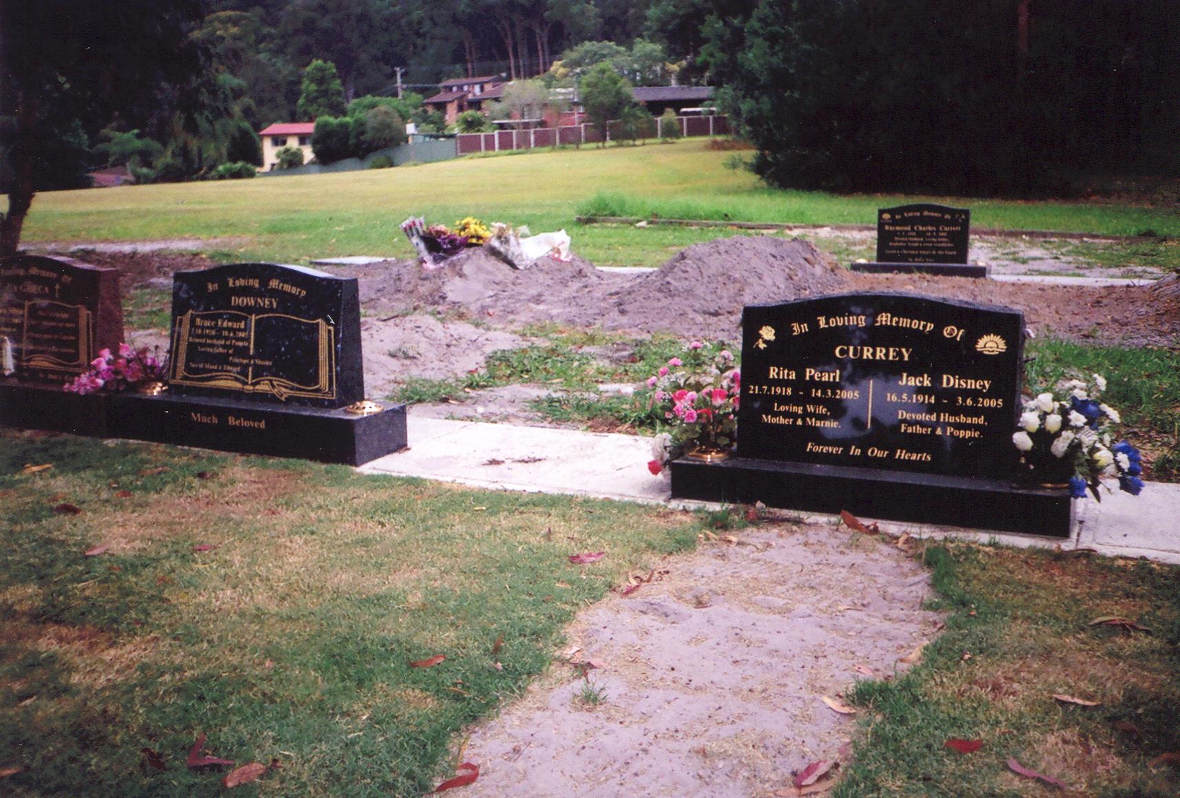
There were a fair few Federation era (circa 1890 - 1915) houses at Noonan Point, mostly with the usual forties fibro and red-tiled roof renovations. But there's only one place on my hist list for Noonan Pt ("House, 'Katie Dawson's', 15 Alukea Ave... c.1910") and I missed the bastard due to forgetting my list. Been sitting here racking my brains for the memory of all the houses in that street but nada. Ah well. I'll get it next time.
There's a pedestrian tunnel under Point Clare station and another one at Point Clare itself that must come off Welwyn. The Welwyn one comes out at
TS Hawkesbury (the TS is for Training Ship) and you wander along a narrow road beside the water until you get to Kurrawa Avenue.
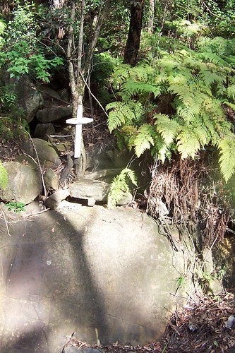
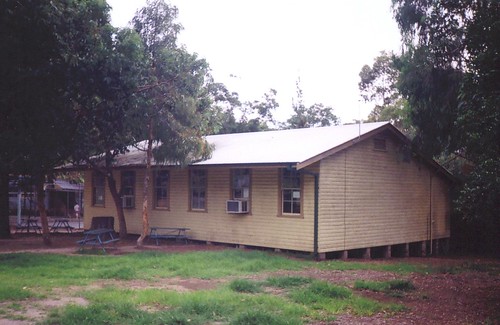
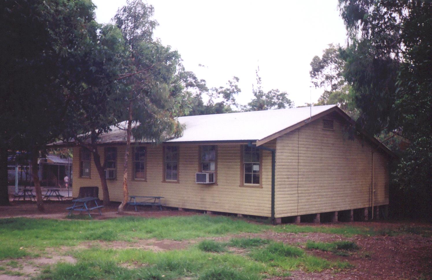
TS Hawkesbury consists of an obselete mortar cemented to the ground, flagpole, a large boat shed and jetty and several dozen kayaks in open air racks. Just past
TS Hawkesbury is the Royal Volunteer Coastal Patrol. They share the jetty with the Navy but they have powerboats. They also have rabbits though they may not know it. Rabbits are not native to Australia. Some dickhead brought them over from the UK (Britain) in the 19th century and we've been trying to get rid of the bastards ever since. You know that movie
Rabbit Proof Fence? That fence is real and tells you how desperate we are to get rid of the bloody rabbits. Some other idiot introduced foxes from the UK to get rid of the rabbits so we got bloody feral foxes to get rid of as well as the bloody feral rabbits.
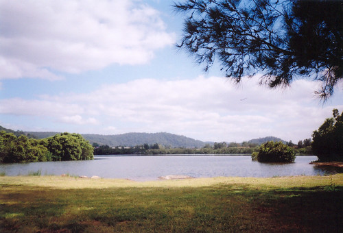
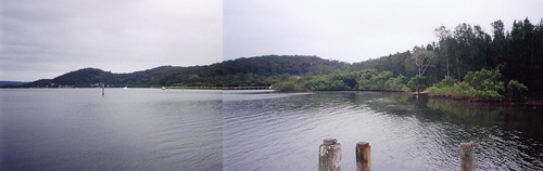
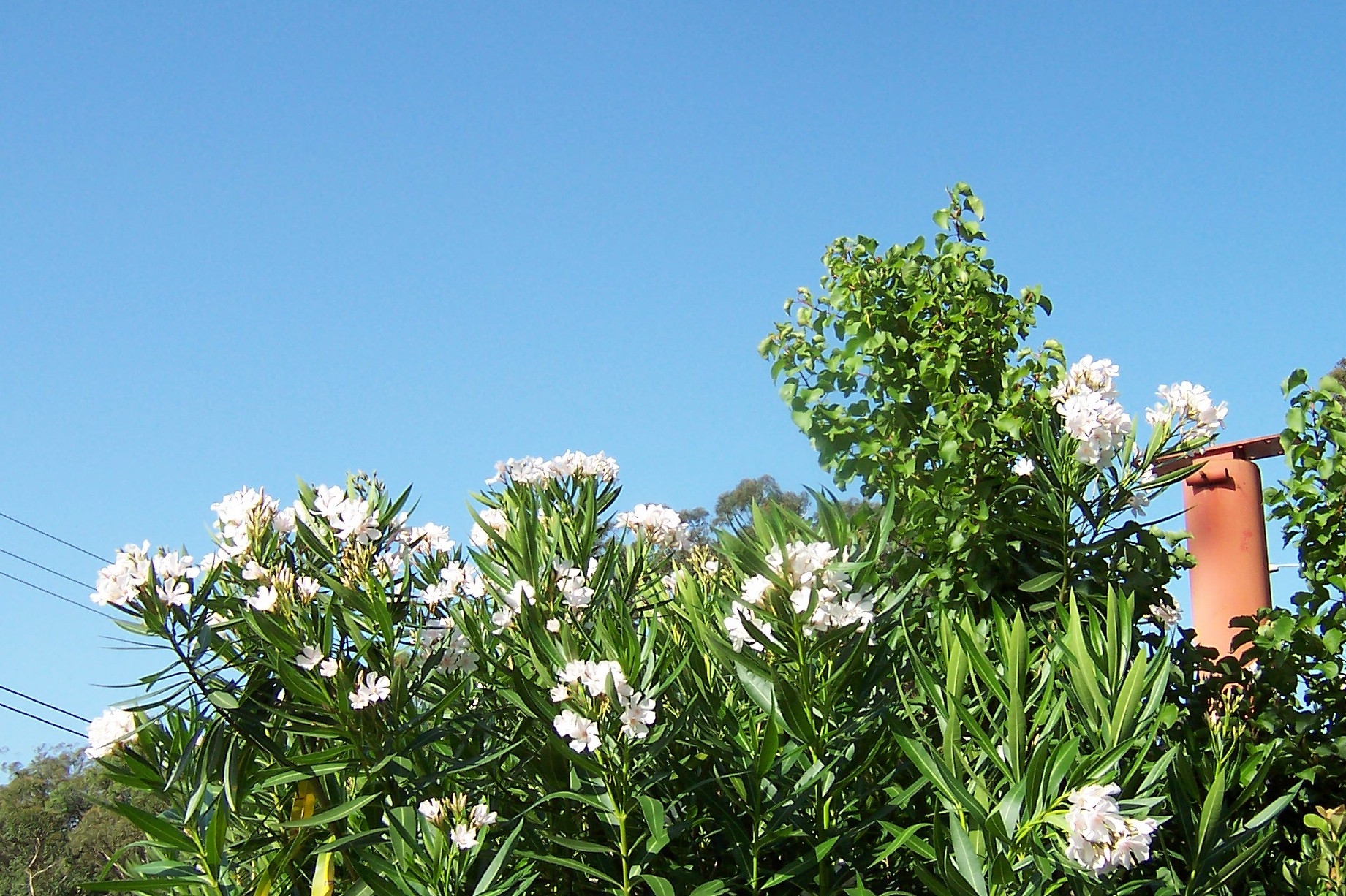
Anyways, I digress. Stopped beside the water for a while and drank in the view. Immediately opposite me on Longnose was a park. A wide strip of grass down to the water and a single large tree at the top end of it. Not marked on my map but it looked like it's between Spears and Dunn Streets. I'll find out when I walk Longnose.
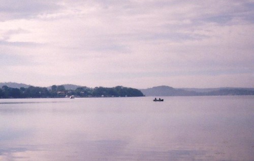
(Best at this size)
It wasn't a particularly quiet spot, not at that hour. The throb of early peak hour traffic came across the water from Gosford and I could see it jerking and flowing at the lights by the pool on Dane Drive. Out on the still silver water a couple of blokes were sitting silently in a tinny, hunched over their rods. Behind me the narrow shady road was fairly busy with walkers and joggers and cyclists and dog walkers. A couple of cattle dogs bolted from their owner and plunged into the water after a duck. Another dog passing by bolted as well. I heard the clatter of claws on bitumen and a despairing "Nooooooo!" from its owner then I got a warm wet nose up the bum. I turned around and there was a grinning bitsa and its embarrassed owner. I must smell pretty good bcause I've had a lot of dogs' noses up the bum over the years and I'm way past embarrassment. Plus they usually just want a scratch, the nose is the canine handshake. This one slobbered on me a bit and thumped its tail and was dragged away still grinning.
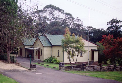
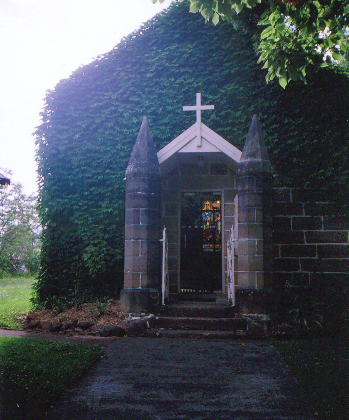
I did a few more streets after that and looked for a couple of hist list places on Brisbane Water Drive.
(
Big version)
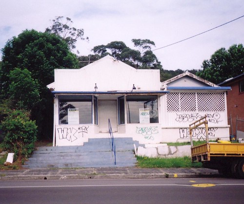
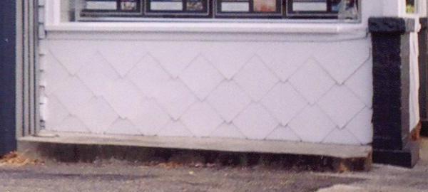
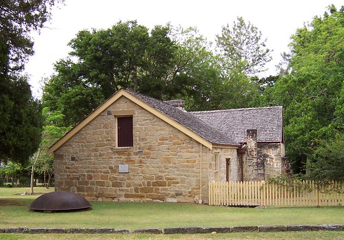
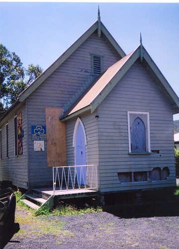
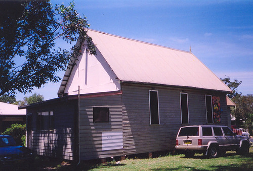
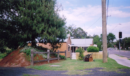
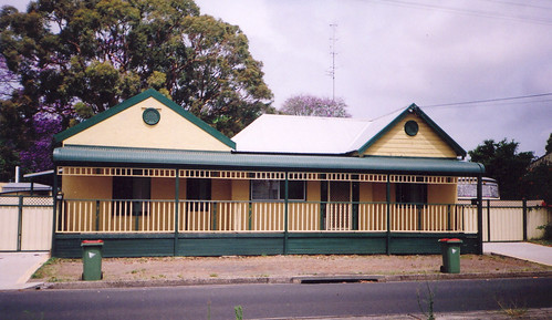
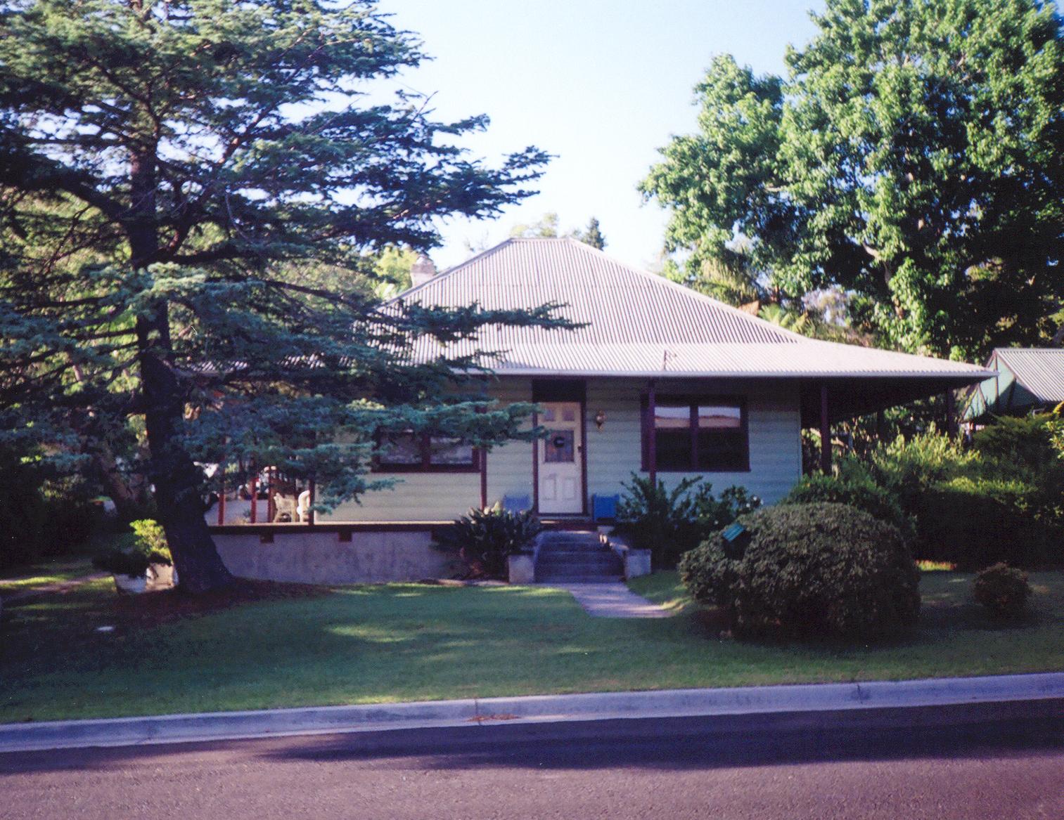
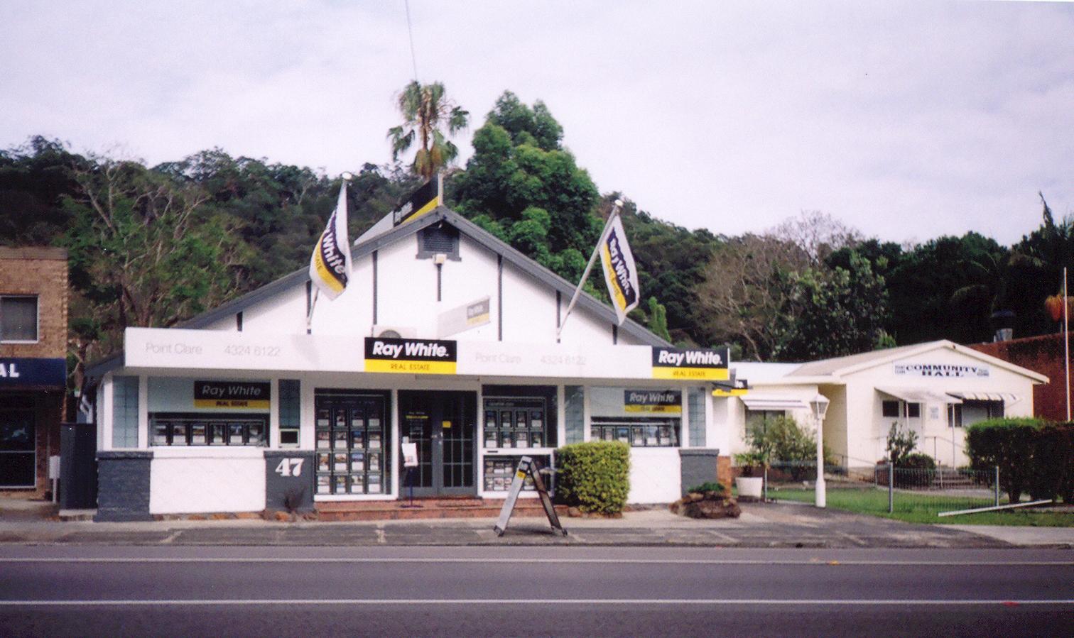
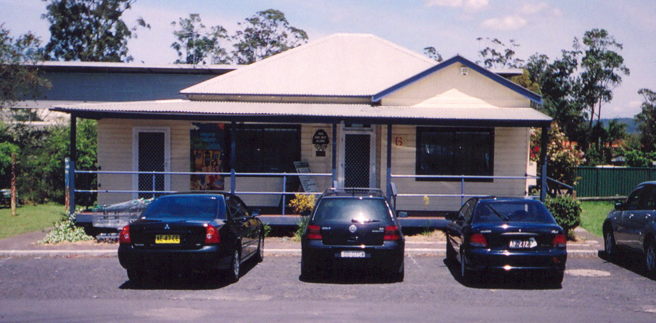
"Shop, 'Theroy', 59 Brisbane Water Drive Point Clare ... c.1920".

(
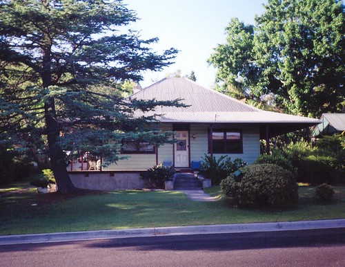
Big version)
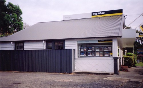
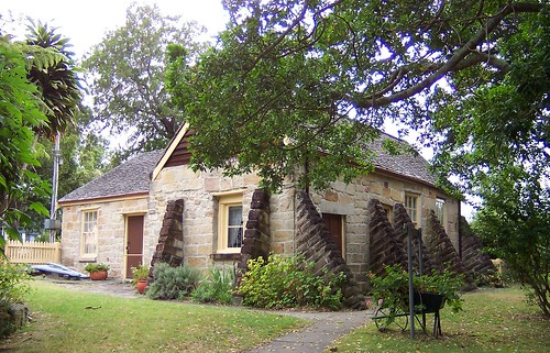
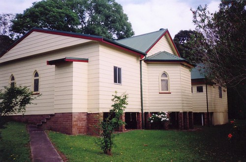
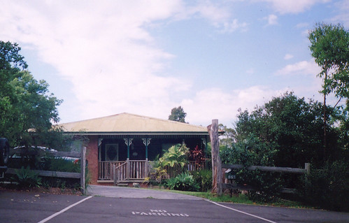
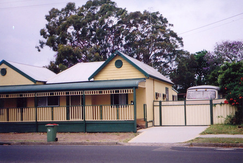
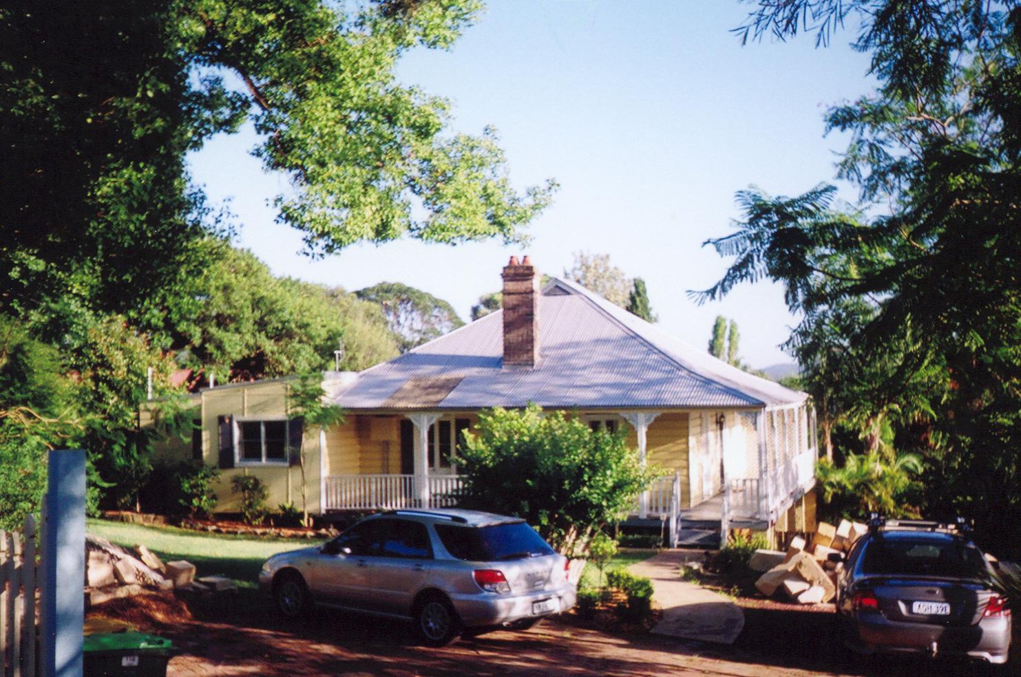
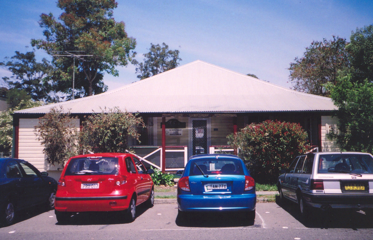
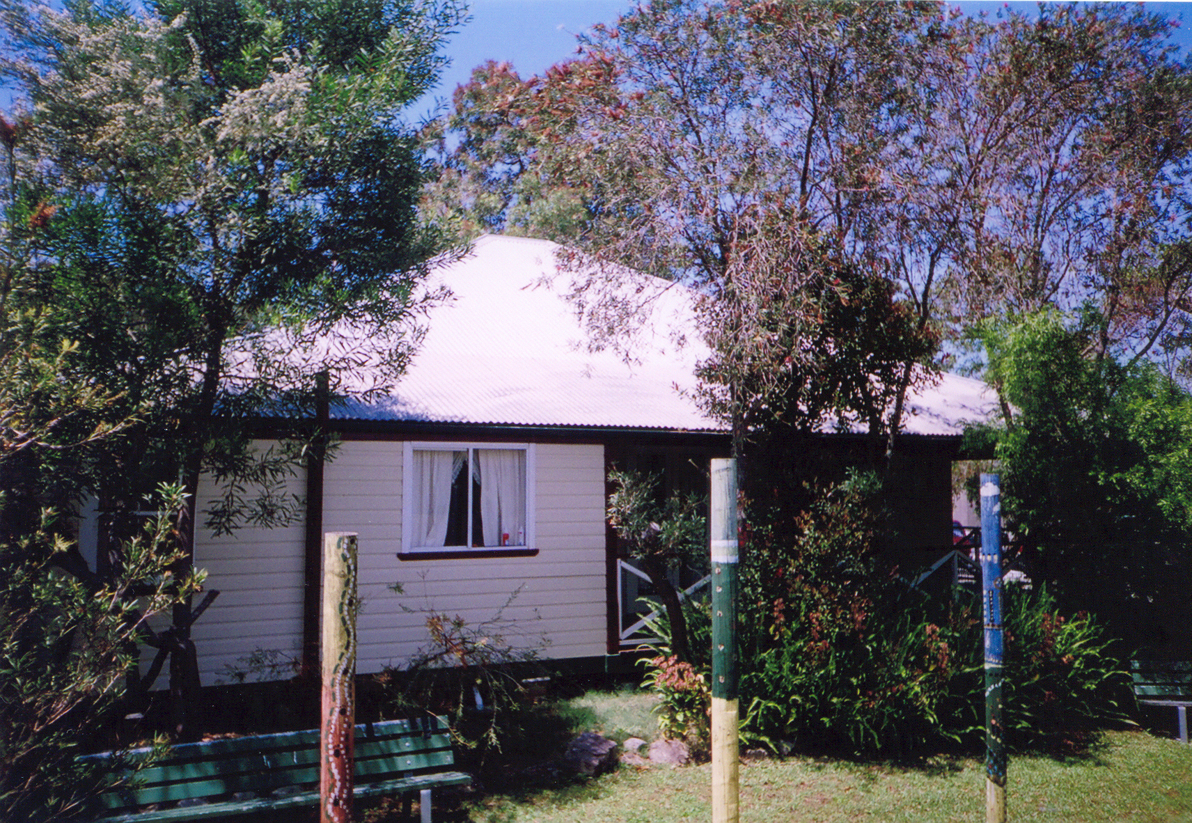
Not on my hist list, just a nice old bungalow.
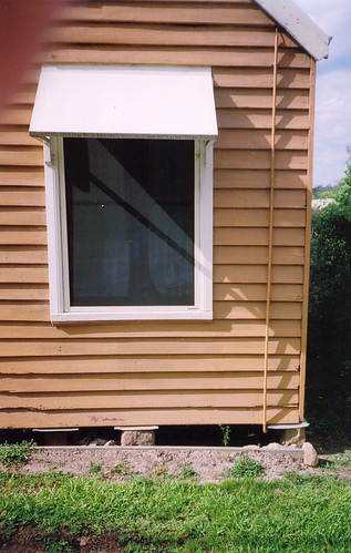
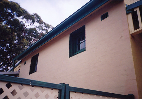
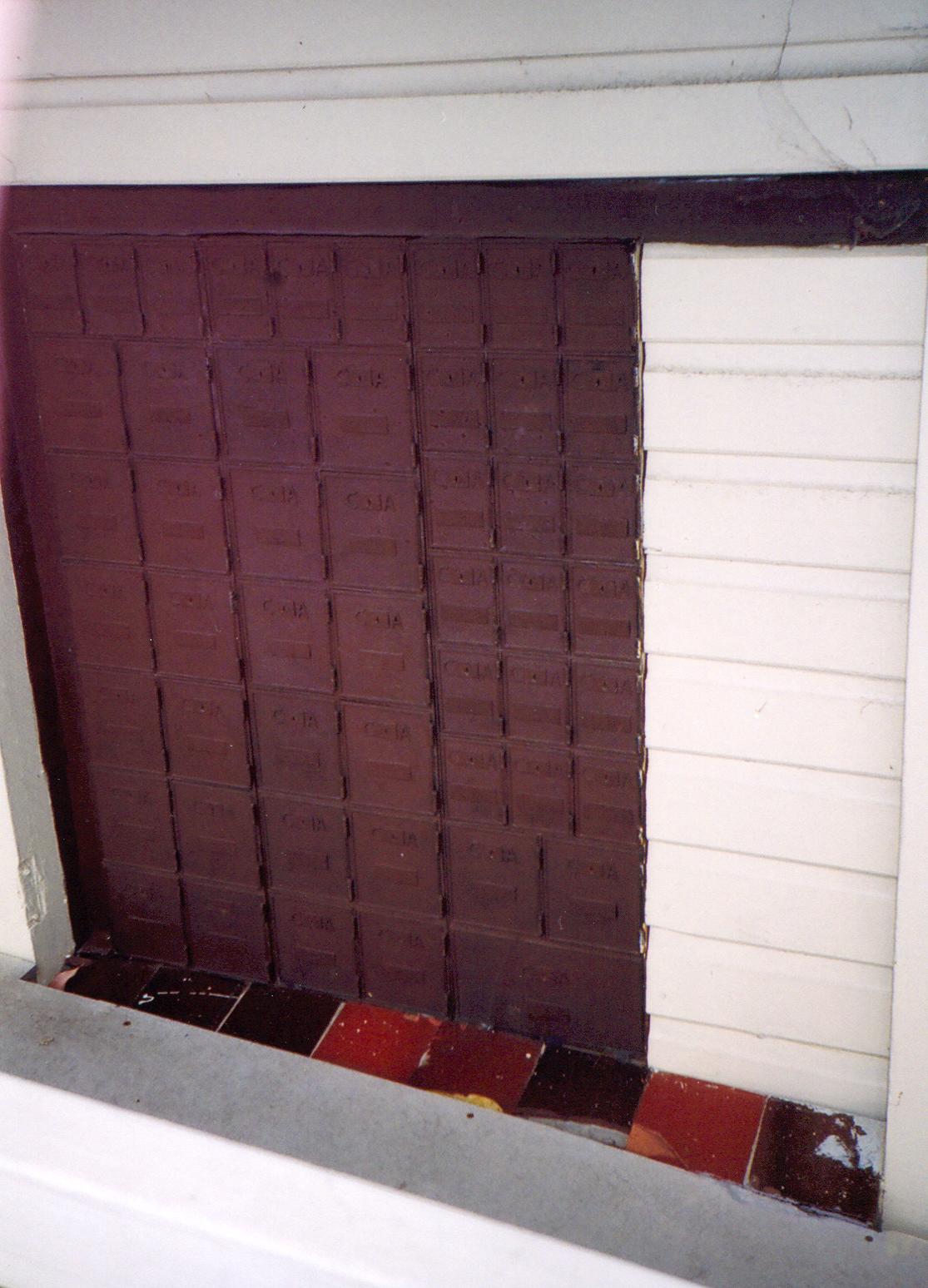
(Zoom version below)
Zoom in of panel below bungalow's side window.
The sun came out in the last few minutes of my walk and the flies started to swarm thick and bold. If there was a poll I think the Oscar would go to Lightly But Persistently Alighting On The Ears over Swooping In And Straight Up The Nose. With Perching On The Tip Of The Nose And Making People Cross-eyed With Rage would run a close third.
Got the train back from Point Clare station and by the time I got back home half an hour later the sky had clouded over again and a cool wind started. Looks like we'll have those possibly violent storms in a couple of hours. Excellent.


