Got off the bus at the top of the ramp and stood there for a few minutes, just drinking in the scene. I wasn't up high but I got a good view. Nice green water in the foreground changing to bright blue further out, soft dark green of the closer hills and misty green of the hills and ridges in the distance. It wasn't yet eight a.m., the breeze was stirring and I was very happy to be on the road again. I trotted off down the ramp.
Biggest version (very grainy)
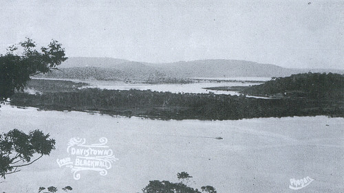
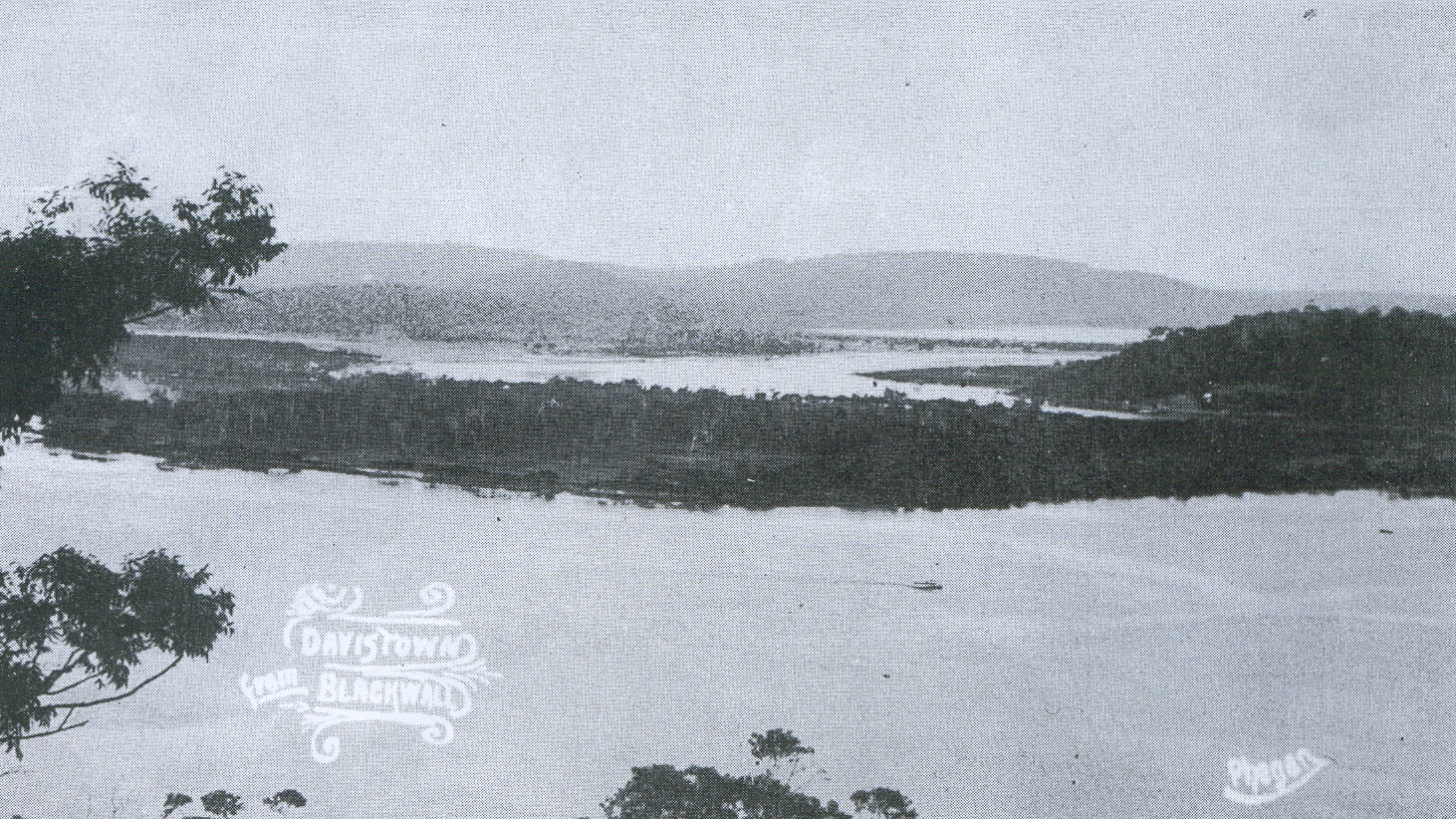
(Old postcard, taken from Blackwall Mountain)
Behind me was the hill of Daley's Point. Down to the left was Retention Islet, a tiny sand and mangrove island. Down on the right was Oyster Islet, which was the same. Over on the left the lumpy bulk of Blackwall Mountain and the Peninsula foreshore stretching away, with the folds of the ridge behind it. Behind the Peninsula was the ridges of Phegan's and Deadman's (Correa) and Woy Woy Bays.
On the right was the hill above Empire Bay. No idea what it's called, there's no name for it on any of my maps. To the left of it was Davistown and Saratoga. To the right of the sharp hill of Saratoga was Kincumba Mountain and Green Point. Behind St. Hubert's (it's flat) were the ridges of Koolewong and Tascott.
In this photo you can see how close St. Hubert's is to Woy Woy. In this aerial photo you can see all the canals or coves or whatever you want to call them. On the old postcard above you can see what it looked like with nothing on it but trees.
St. Hubert's is a flat island half a mile wide and not quite a mile long. It's got 19 streets, 6 canals/ coves, 5 parks, 1 memorial, 1 public boat ramp and no shops. It gets its name from when some monk guy late last century wanted to build a monastery or a school or something there. I noticed a spiel about it in a library book when I was looking up Woy Woy stuff months back. Been too irritable to do research lately.
Anyways, it was originally one of the mangrove islands and there's still mangroves round its edges here and there. Other than that all traces of its original form have been obliterated by development. When land went on sale there real estate agents must've been climbing over each other to sell it. With the artificial canals/ coves, 80% of the houses have waterfrontage and probably 90% have views. The street names are all but two (Boyd & Luderick) dreamed up by estate agents: Helmsman, Beachfront, Weatherly, Skiff, Mooring, Marina View, Nautilus, Mainsail, and so on.
On this 1950s map the streets are shown as not yet built. But I found two 1940s houses, one on the corner of Beachfront and Sirius and one in Discovery. Interesting. Perhaps some of the roads were built but not yet sealed and so the dashed lines on the map. Anyways, whenever the roads were built or sealed, most of the building appears to've happened in the seventies and early eighties. And we all know how much I hate seventies architecture. There's plenty building after that and there were several building sites today but the seventies and eighties dominate.
Other than the architectural horrors, it's rather pleasant. The streets trees were paperbarks and gums, the gardens were pretty bushy and the views are great. Grey cloud had come up from Sydney and the mist of rain in the distance made the furtherest hills seem further. Looking across to the Peninsula and seeing where I've walked was good. So was looking across to future walkies at Saratoga and Davistown and Daley's Point.
The best park was the one with the memorial on Long Arm Parade. More of a marker really. Another one of Governor Phillip's landing sites in 1788. The park was a narrow strip of grass along the side of the road. A picnic table and a couple of seats, the memorial thingy, some trees and a tiny bit of beach. The water was maybe a foot deep for 10 metres out and there was a patch of mangroves. Directly ahead was the hill above Empire Bay. I watched a bus change gear and roar up the hill and listened to the water lap against the sea wall. The birds were twittering and carrying on, enjoying the sun again after the rain. A lovely spot.
It was a great walk. Got in some more exploring, walked a whole island in one morning, smelt some beautiful roses and saw some red red poppies (I love that poppy shade of red) and got some great views. I'm a bit footsore after the fortnight off but it really perked me up.
No comments:
Post a Comment