Pearl Beach was my 2nd last walk on the Woy Woy Peninsula Walk, which was Brisbane Water Walk #1. Brisbane Water Walk #2 was Park's Bay.
(See big version)
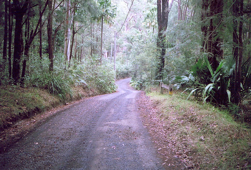
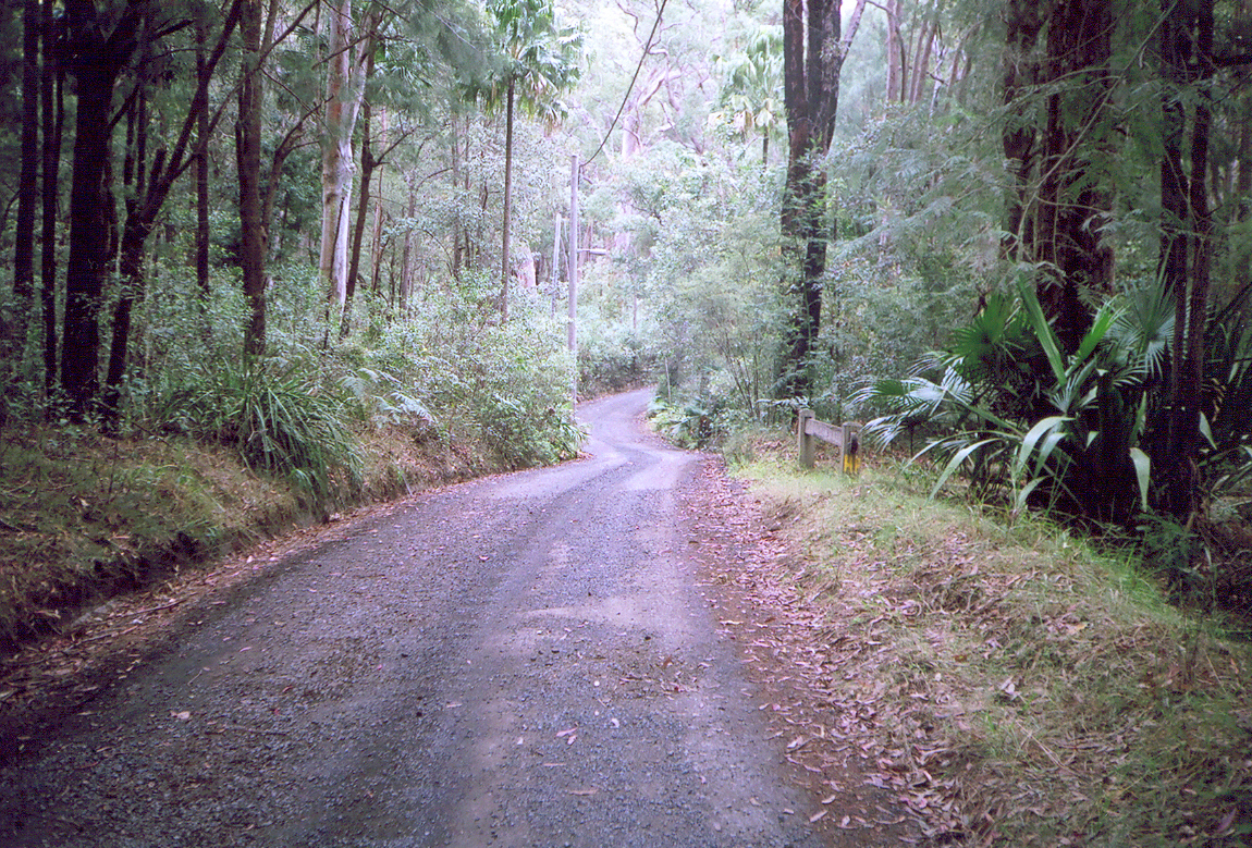
The quietest street on the Peninsula Walk.
(See big version).
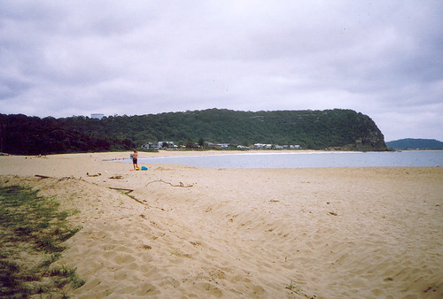
From the end of Gem Road, Pearl Beach. The beach-front houses are on Coral Crescent. Behind them is the south side of Mt Ettalong (AKA Patonga Ridge) with the water tank on top. On the right you can see part of Umina Beach and behind it Blackwall Mountain.
(See big version).
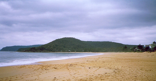
From left to right: In the background, Commodore Heights at the northern tip of Ku-ring-gai Chase National Park. Green Point, with Paul Landa Reserve on it. The hill in the middle is Warrah Trig. I always thought a trig was some sort of beach so there you go. The houses at the foot of the Trig are probably on Green Point Road and Gem Road (going up) and Pearl Parade (level). Houses on the right are on Coral Crescent.
More photos
2 comments:
And I thought trig involved mathematics...
Me as well.
And there's a Trigg in Perth but I got no idea what sort it is.
Post a Comment