Glancing at my notes this walk is coming back to me. It was a hot day, more like summer than spring. I went up the mountain then along Orange Grove Road in front of it. The views weren't bad. The best views to be had would've been from the lookout but the path up there was too overgrown and I was too buggered already to scramble up there. I'll go again after the next burn-out on the Mountain.
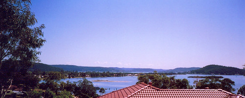
Taken a third of the way up Blackwall Mountain.
From left to right: Woy Woy peninsula stretching across to halfway along the roofline. Behind it is Brisbane Water. The tiny sand islet off Blackwall foreshore. Some vegetation's growing on it now so it might be permanent soon. Unnamed magrove islet below Saratoga. Hill on right is Saratoga. Hill behind Saratoga is Kincumba Mountain. Distant hills from left to right are Point Clare & Gosford. Behind them are the hills of Narara, Lisarow & Ourimbah.
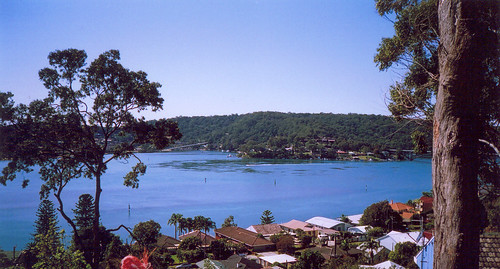
(Big version) Taken from a building site halfway up.
From left to right: St Hubert's Island behind the tree. Ramp down to St Hubert's to the right of the tree. Daley's Point. Half the Rip Bridge against the tree on the right. Houses on Orange Grove Road in the foreground.
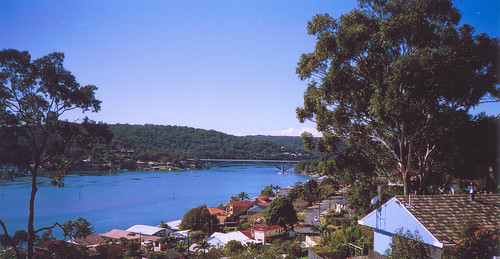
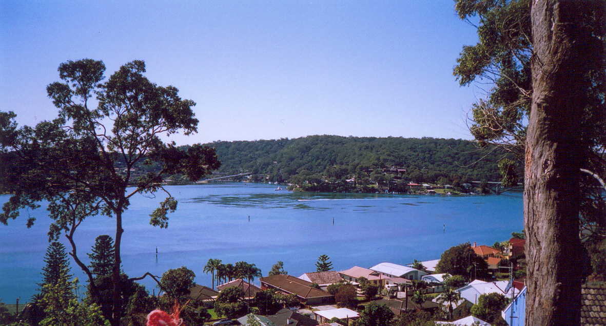
Taken from the same building site.
The road in the foreground is Orange Grove Road. The bridge is The Rip Bridge. The houses behind the bridge look to be in Riley's Bay and the hill behind them is Killcare Heights. The houses on the left in the middle distance are on Daley's Point.
The intense blue of the water is from the natural light plus a little something from the death throes of my camera.
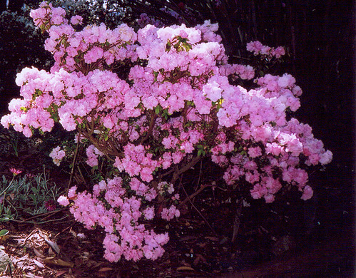
In someone's garden near the foot of the Mountain.
When I came back down the Mountain I went down to Blackwall Point then along Orange Grove Road. From there I could see down into the end of Cedar Crescent, down to that shingled house I couldn't date before. When I walked Cedar I thought it was on Cedar. But my hist list sorted it out. It's "hospital (part): former house, Rock Davis, 380 Orange Grove Road ... 1860s". It's on a big block that goes from the gate up on Orange Grove Road down past the end of Cedar Crescent to the water. Rock Davis is the Rock Davis of Brick Wharf fame and is buried in the graveyard of that nice little church at Kincumber.
More photos from #56 (This URL is correct and the post exists (archive > scroll down). Despite this, there's a 404 on it. No idea what that's about.)
No comments:
Post a Comment