Wednesday, June 21, 2006

Fletcher's Glen

(Random walkies)

It's the shortest day of the year today. Winter Solstice. Appropriately, it's a dark day. I've got the lights on still and it's 10AM. Outside it's cold and wet. The cars swish past on the wet road, the rain is falling from the low clouds and wetting my garden and it's cold. Inside it's snug and warm and I can go anywhere I want on this interwebthingy. So I'll go to Hardys Bay just down the road and across the water (map).

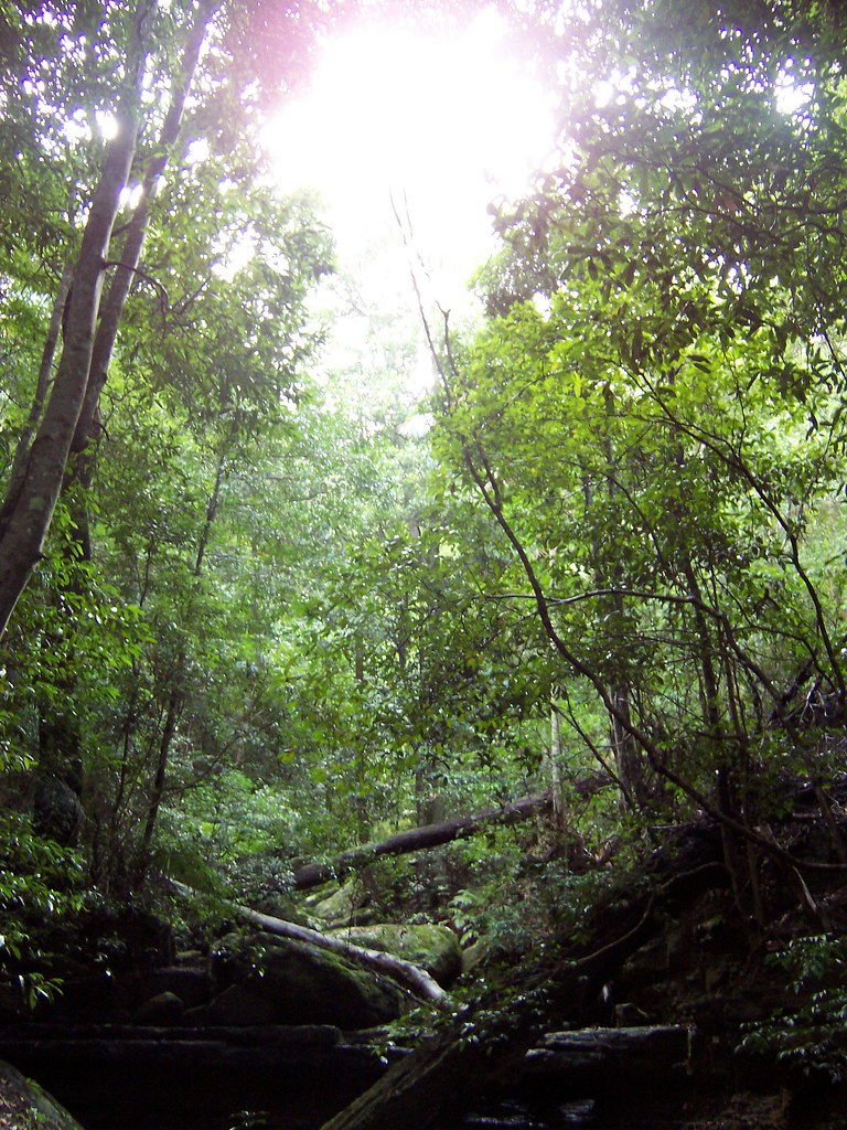
Waterless waterfall at Hardys Bay
(Big version)

Went there Saturday and had a wee trek through the bush at Fletchers Glen. It was pretty overgrown and a bit damp. The ground was mud. The leaves and rocks were slippery with damp and moss. We stepped slowly and carefully, holding onto the trees. Nearly went arse up into the creek a few times but had fun anyways.

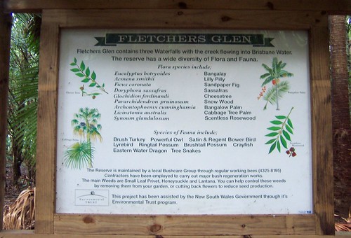
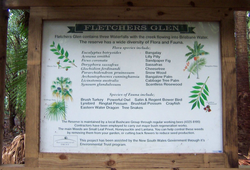
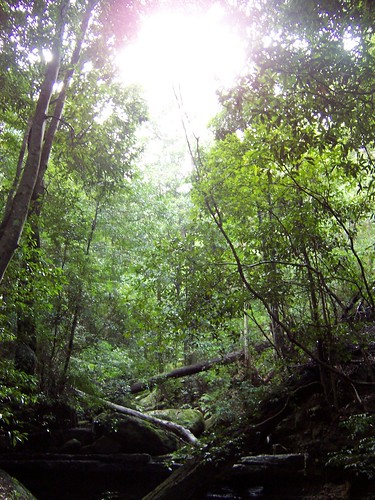
Fletchers Glen flora & fauna
(Big version)

It reads: "Fletchers Glen contains three Waterfalls with the creek flowing into Briosbane Water. The reserve has a wide diversity of Flora and Fauna.
Flora species include:
Eucalyptus botryoides Bangalay
Acmena smithii Lilly Pilly
Ficus coronata Sandpaper Fig
Doryphora sassafras Sassafras
Glochidion ferdinandi Cheese Tree (top left picture)
Pararchidendron pruinosum Snow Wood
Archontophoenix cunninghamia Bangalow Palm (top right picture)
Livinstonia australis Cabbage Tree Palm (bottom left picture)
Synoum glandulosum Scentless Rosewood (bottom right picture)

Species of Fauna include:
Brush Turkey Powerful Owl Satin & Regent Bower Bird
Lyrebird Ringtail Possum Brushtail Possom Crayfish
Eastern Water Dragon Tree Snakes".

Didn't meet any snakes or any critters at all. My gentleman companion had a roaring hangover and whinged (whined) most of the way thus scaring off the beasties.

Tto get to Fletchers Glen take Ward's Hill Road off Empire Bay Drive, park on the Hardys Bay waterfront and walk along to the elbow of Fraser Road at the northern end of the bay. Look carefully for the sign marking the start of the track, it's a bit overgrown.

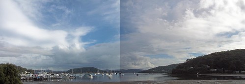
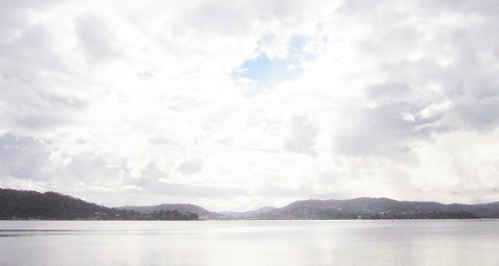
Hardys Bay panorama
(Big version)

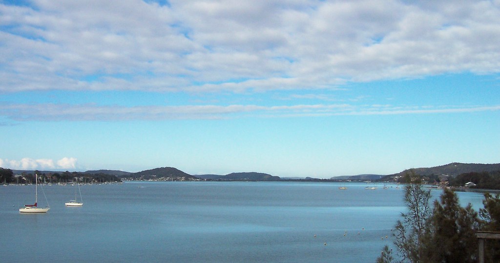
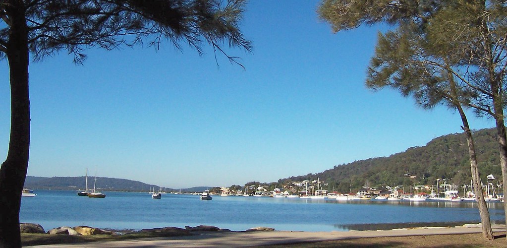
Left to right: southern end of Hardys Bay, ridges at the back of the Woy Woy Peninsula (background), Blackwall Mountain & Ettalong, Koolewong & Tascott (background) & The Rip Bridge, Rileys Bay, and the northern end of Hardys Bay on the far right.

It rained a few minutes after this photo and we popped into the cafe on the waterfront for a cuppa. There was two cafes and a bottleshop (liquor store) on the wterfront at Hardys. They got their priorities right.

Tuesday, June 20, 2006

Fun Run results

Results and photos from Sunday's 12 kilometre (7.46 mile) Fun Run are now online.

Don't know which is the 89-year-old but there's three guys in the over 70s division (places> CTRL+F "Male 70+") and they all did better times than me. Must remedy! Maybe I'll be ready to run a couple of years. Maybe.

Anyways, these photos of some of the runners show you how close to the water the course was.

Okay, so the Bay to Bay dodn't kill me and now I'm looking for the next Fun Run to walk. There's the Sydney City to Surf (with a cool satellite route map). 14 kilometres (8.7 miles) from central Sydney to Bondi Beach but it's not until August.

There's some photos of the 2005 City to Surf here and these look like 2005 as well.

There's a 10.5 kay (6.52 mile) Fun Run at Lake Macquarie an hour or so up the road. Also in August. Bugger. Must be something else before then. Will keep my eyes open and walk Sunday's 12 kay route as my training for the City to Surf.

Sunday, June 18, 2006

Woy Woy to Gosford Fun Run

12 kilometres (7.46 miles) along the western edge of Brisbane Water then across the top to the park between the Sailing Club and the Sea Scouts (Route map). There's a concrete cycle path most of the way but it's bloody hard on the feet over that distance.
Marshalling area for the Woy Woy to Gosford Fun Run
(Big version)

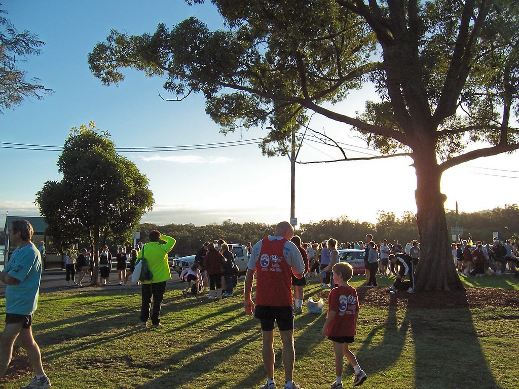
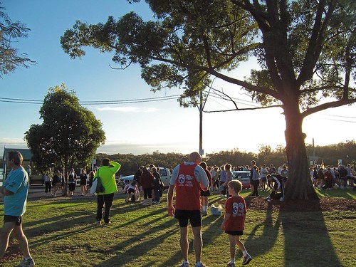
Marshalling area for the Woy Woy to Gosford Fun Run. 7.40 on a cold morning on the Woy Woy waterfront, people shivering in shorts, dogs nosing around and kids asking if we were there yet.
Marshalling area for the Woy Woy to Gosford Fun Run
(Big version)

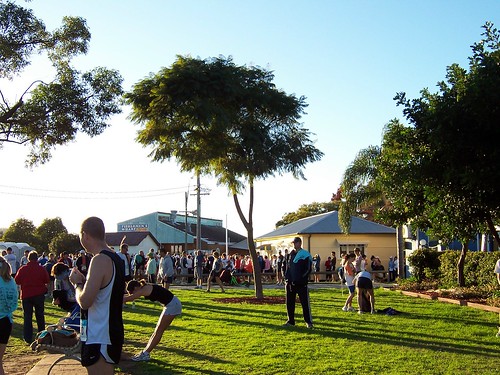
There was a small crowd doing a warm-up in front of a tent and the serious runners were over near the start line doing their warm-ups. Most people were wandering about looking for friends and trying to get warm. It can't've been more than 3 degrees (37.4 Fahrenheit).
Woy Woy to Gosford Fun Run
(Big version)

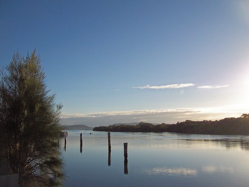
Lone kayaker coming up to the start of the Run. Lovely day for a Fun Run along the water. Cold but still and sunny. The cloud came over by about the 3 kilometre mark (1.86 miles, quarter of the way) but by then we were getting warm anyways.
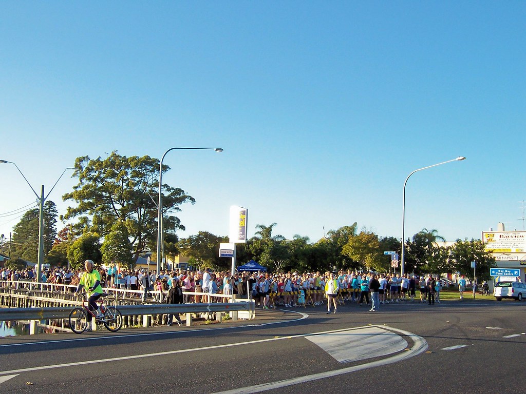
10 minutes before the start of the Woy Woy to Gosford Fun Run
(Big version)

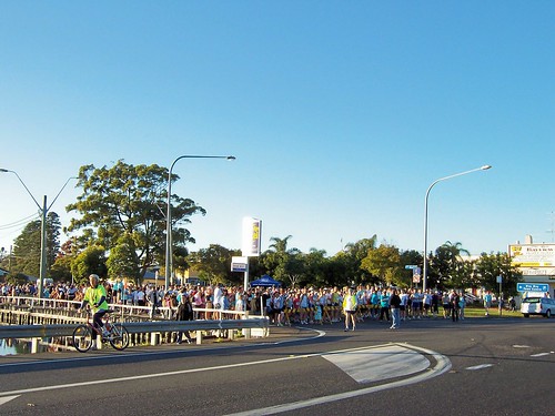
The ferry wharf is just out of shot on the left, there were several spectators reclining on it, all wrapped in their warm jackets. The pines in the background are at the Memorial Park, on the far right is the pub near the lights, the Bay View.
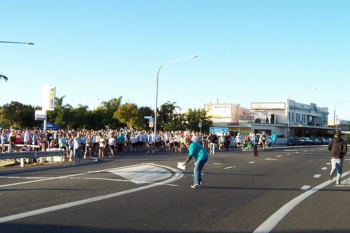
Marking the start line of the Woy Woy to Gosford Fun Run
(Big version)

Marking the start line. Not sure what they used to mark it. Looked like sand or something. This was a couple of minutes before the start.

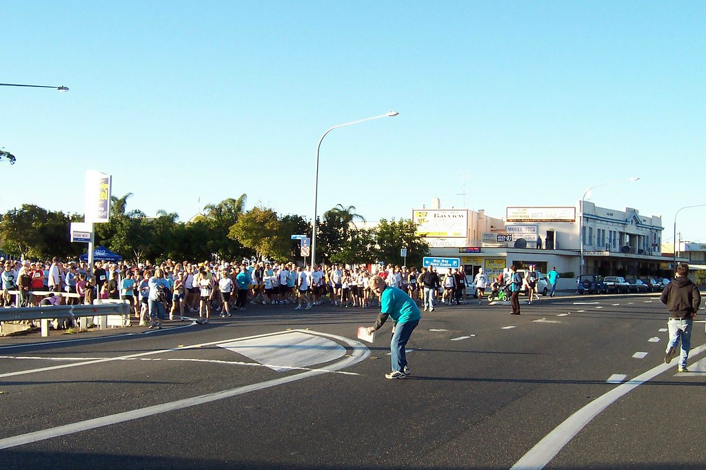
All the eager beavers are up the front, raring to go. The bloke on the bike and the other one in the fluoro top are marshalls in charge of escorting cars through the course and following the last person to make sure they didn't keel over or something.
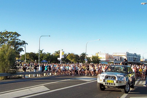
And they're off! On the Woy Woy to Gosford Fun Run
(Big version)

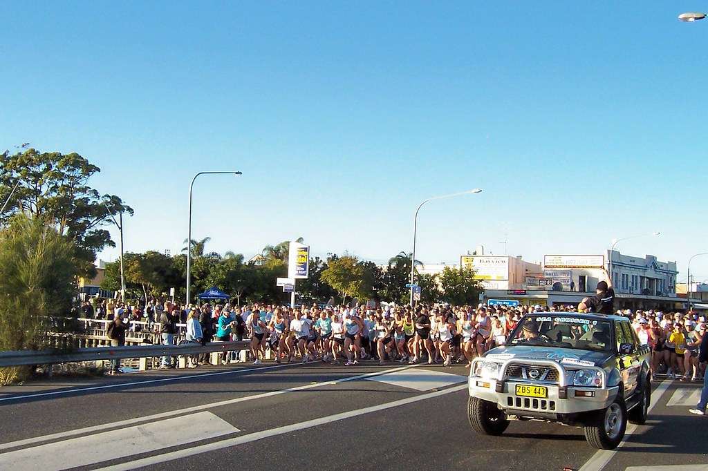
And they're off! SEA FM radio station fired the starter's pistol, that's their ute on the right with the starter standing in the back. There were blokes on bikes and on foot patrolling the route to make sure no-one got hit by a car. The road wasn't closed to traffic and the cars came nosing through like a vegetarian shark through a school of short-sighted fish.

The cycle path is not finished at the Woy Woy end. We had to go along the road for the first hundred metres or so. But after that we started to spread out and the cycle path began. The path runs right along the water most of the way to West Gosford. Halfway round Fagans Bay, in West Gosford, it cuts up to the Pacific Highway then round the water at the back of Garnet Adcock Park. From there we went over the Pacific Highway overpass, over the railway line, and back down to the water. The 11 kay (6.84 mile) mark was at the Gosford Wharf. That last kilometre was a bastard. My feet were really starting to hurt and I could see the finish line round the curve of the bay. So close and yet so far and all that.
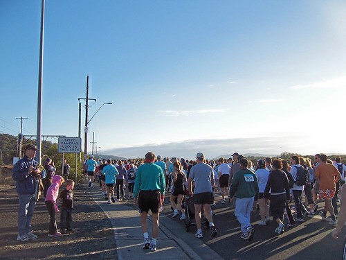
Walkers in the Woy Woy to Gosford Fun Run
(Big version)

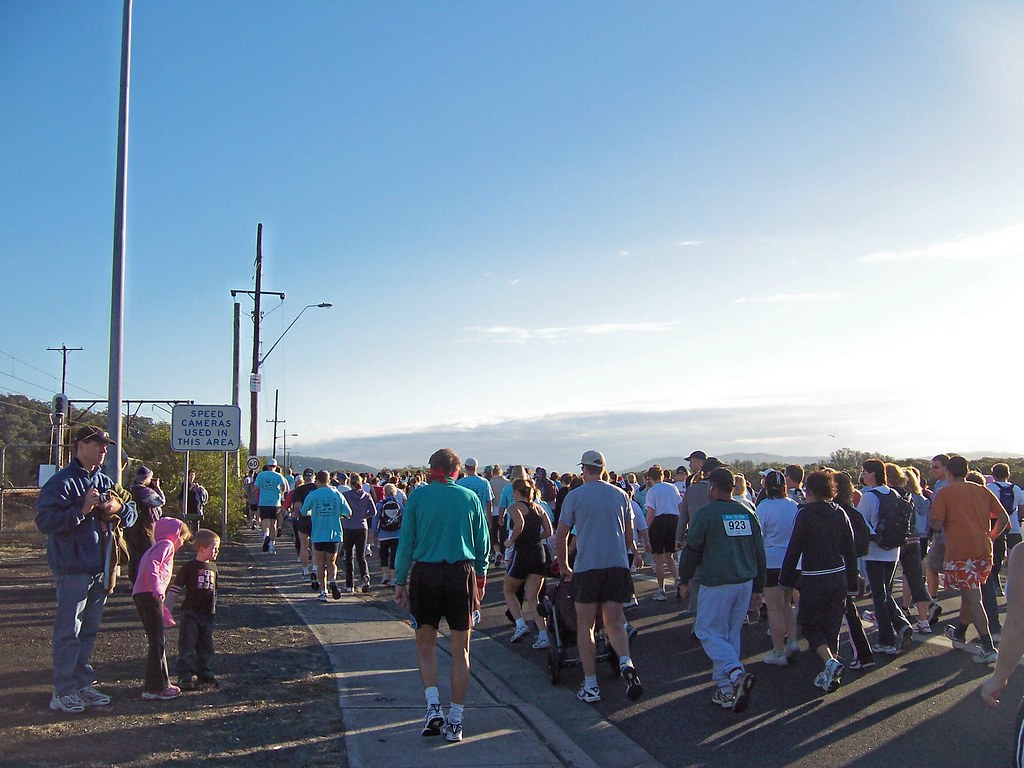
Some of the walkers. Maybe a dozen sprogs the size of those two on the left walked. They must've been pretty tiresome by the end but it can't've done their health any harm.

From Woy Woy to Point Clare the path is pretty open. You can see across the water to Saratoga and Green Point and up to Longnose (Point Frederick). At The Point Clare roundabout (traffic circle) the path plunges down beside the road and goes along to TS Hawkesbury and through a pedestrian underpass tunnel thingy. From there to the Yallambee Avenue turn-off it's all trees and park and water, all park along that part of the shore. The path winds in a very pleasant manner so there's always trees in your line of vision and it was so nice it was easy to speed up.

Being a Sunday morning it was quiet. Thought I heard the steam train going up to Newcastle or whereever it goes but that was about it. A few people in their slippers were coming out of their houses to watch us come past and ask what we were doing. I was a bit peckish again by then and was tempted to snatch the bacon sarnie out of his hand.
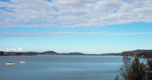
Brisbane Water from Pacific Highway overpass at Gosford
(Big version)

Round Fagans Bay it's mainly mangroves on the water side and pines and gums on the land side of the path. Very pleasant. We came out at the elbow of Yallambee Avenue and were sent up to the Pacific Highway overpass. Got a nice view from it right down to Woy Woy and Lion Island (annotated version).

When we came off the overpass we were down on the Gosford foreshore. The path was right along the water again after the Wharf. A gentle curve round past the swimming pool and the Sailing Club then into the park there to the finish line. It was bloody good to go through the finish and know I'd made it all that way.

I sat and watched the rest coming through the finish line. The park was getting crowded and fragrant with the smell of snags (sausages) and onions and BBQ sauce. The queue for sangers (sandwiches) was long and full of people complaining about their feet so I had a cuppa and a bikkie (cookie).
Last finishers in the Woy Woy to Gosford Fun Run
(Big version)

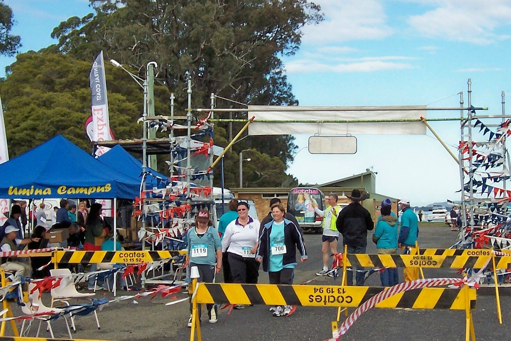
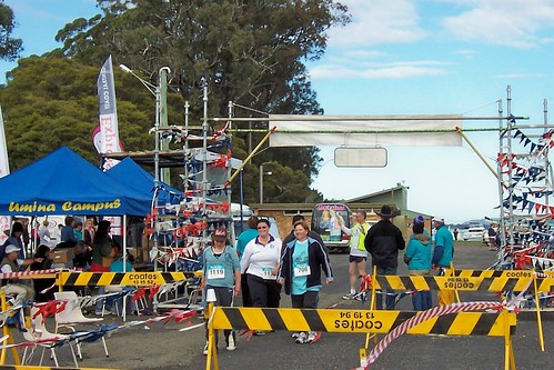
The last three through the finish line. It was a long walk but they stuck it out. There were keep-fit runners, competition runners, brisk walkers, elderly walkers, blokes pushing prams, kids on scooters and the 89-year-old.

The first runner took 38 minutes and something seconds and the last walkers must've taken 2 and a half hours. When we started we were in two bunches, runners and walkers, by the end we were all straggled out in small groups.

Hung around for the announcements. There was a holiday on the Gold Coast coming out of the barrel after. They had to draw it five times, half the participants had cleared off by then and four guys missed out on the free holiday. They announced the first half dozen placings and listed all the sponsors and drew some minor prizes out of the barrel.

They had a computer crash and couldn't announce the team results today they'll be in the paper (Express Advocate) next week and I'll link them. A couple of blokes called Matt came first and second and there was an 89-year-old guy who apparently finishs every year. Good on him. Hope I'm still going strong at his age.

There were buses back to the start and it was good to look at the route out the bus window and know you'd walked it. It was a bloody long walk and hard on the feet and I'm bloody glad I did it. I'll be in it again next time.
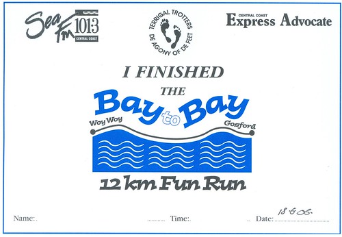
Woy Woy to Gosford Fun Run finishing certificate

Friday, June 16, 2006

Rawson Road jetty

(Random walkies)

Beautiful sunny day again this morning and I'm stuck inside working. Work is evil. But I managed a few minutes in the sun earlier. It's quiet on the water due to a cold cruel breeze.

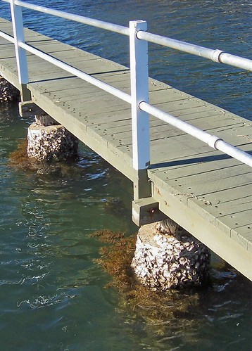
Rock oysters at the Rawson Road jetty Woy Woy
(Big version)

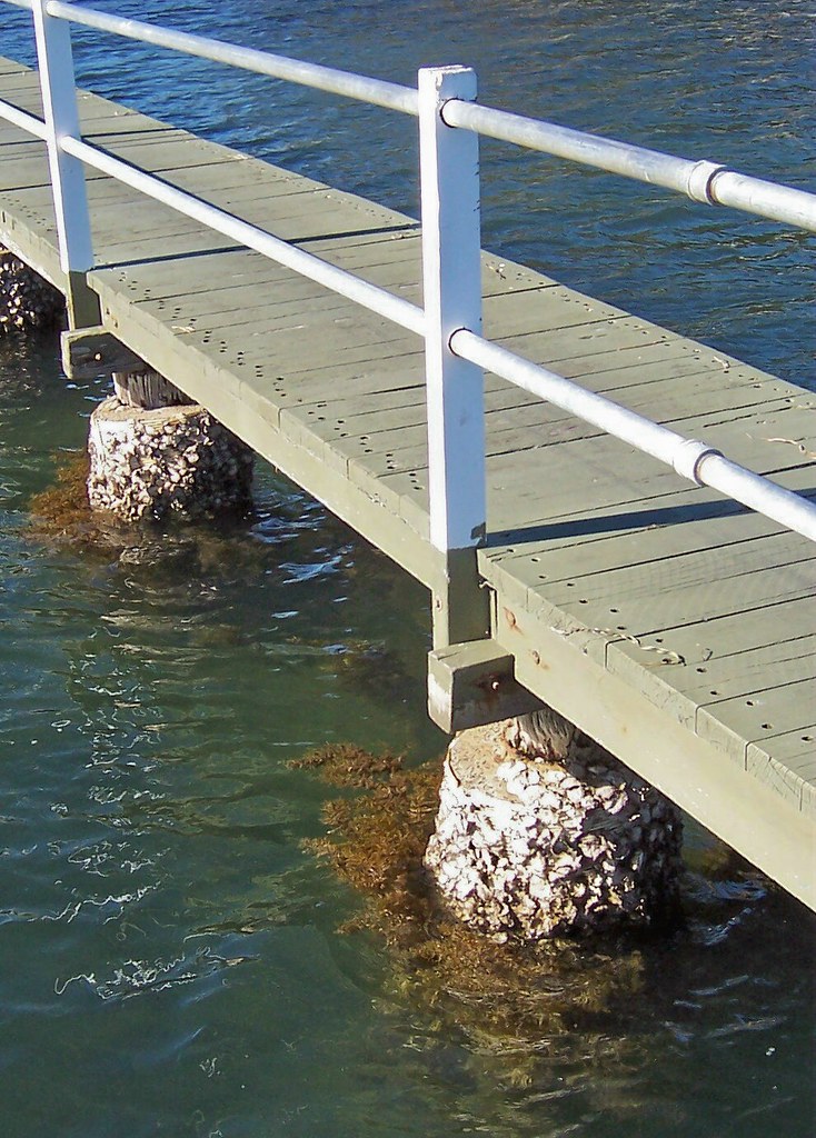
Rock oysters at the Rawson Road jetty Woy Woy. Don't think there's anywhere in Brisbane Water without rock oysters. There's several oyster & mussel farms and you can buy them fresh off the boat from at least a dozen places around the shore.

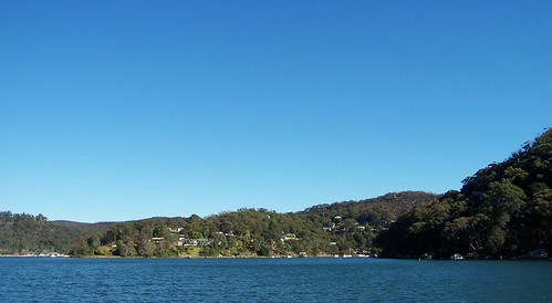
Horsfield Bay & Correa Bay from Rawson Road jetty Woy Woy
(Big version)

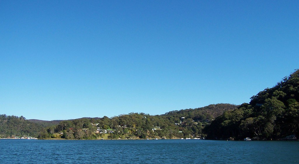
Horsfield Bay and Correa Bay from Rawson Road jetty Woy Woy. A quiet winter day in The Bays. Horsfield Bay in the middle there, Correa Bay (once named Deadmans Bay, which I prefer) on the left. The hill on the right of the photo is the Monastir Road hill. Phegans Bay is on the right of it.

On the big version you can see the damage from the New Year's Day bushfires.

Woy Woy Bay Road houses backing onto Woy Woy Inlet
(Big version)

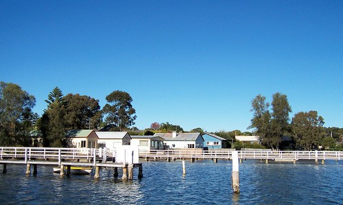
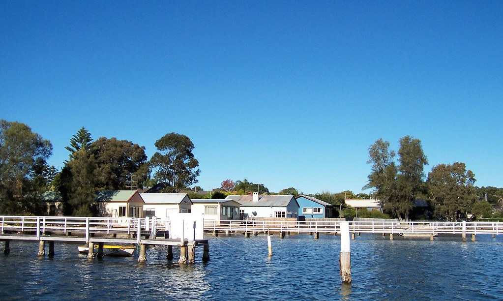
Woy Woy Bay Road houses backing onto Woy Woy Inlet. Opposite Monastir Road Phegans Bay. Cheap old houses built along the water before the money moved in. You can see this all over Brisbane Water. The Dear Old Things who still inhabit most of them spend their days sunning their bones on the veranda, taking slow wobbly walks with their wheezy old dogs and fishing from their backyard. A good life.

Right. That's your lot for today. I've got to get my nose back to the grindstone or I won't get paid.

Thursday, June 15, 2006

Brisbane Water Drive

Koolewong & Daleys Point from Koolewong Foreshore Reserve
(Big version)

Walked with the sun on my back. Lovely. Scarcely a breath of wind and the angle of the sun on the water made it a pale luminous blue. You can see a bit of it in this photo. The water's shown some very beautiful shades this winter and I've managed to capture a few of them.

Cycle Track along Brisbane Water foreshore at Koolewong
(Big version)

Part of the Fun Run route. It leaves from Woy Woy near the pub and finishes on the waterfront at Gosford. We'll be beside the water most of the way.

Grey bird on half sunk dingy at Sheather's
(Big version)

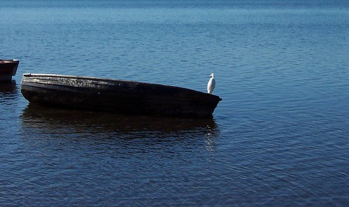
Cormorant or perhaps a White-faced Heron sitting on the sinking dingy at Sheather's. My bird recognition skills are very limited.

Walked an hour this morning. Training for the Woy Woy to Gosford thingy again. Every time I walk the Fun Run route I only walk an hour and every time I walk 25% further. Doesn't feel like I'm walking faster but I must be. Anyways, all is looking good for the Fun Run. I expect to have bloody sore feet after and be in dire need of a cold beer but it'll all be good clean fun.

Wednesday, June 14, 2006

Mareela Avenue

Another Slightly Wobbly Video™ from Dr Spike's Video Library. A panorama from Wagstaffe to Rocky Point from Booker Bay. Note the sandbanks making it tricky for the ferry and the large swathes of uninhabited national park typical of the Brisbane Water area.

Now showing at a YouTube near you. Couple of other videos there too. Can't remember what of.

Tuesday, June 13, 2006

Booker Bay Road

(Random walkies)

The sun's back, as you can see from the photos. Warm soft glorious winter sun. Barely a fleck of cloud in the sky. I walked for hours.

Wagstaffe from Mareela Avenue Booker Bay
(Big version)

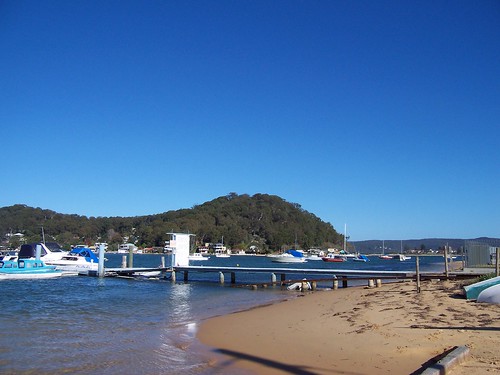
Wagstaffe from Mareela Avenue, off Booker Bay Road Booker Bay. In the far distance is Mount Ettalong, the ridge between Umina and Pearl Beach. On the other side of Wagstaffe (hill in centre) Bouddi National Park goes south for about 3 kilometres to Box Head. In the foreground is the jetty belonging to a boat hire place that also sells fresh fish.

Telopea Street Booker Bay
(Big version)

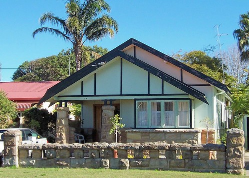
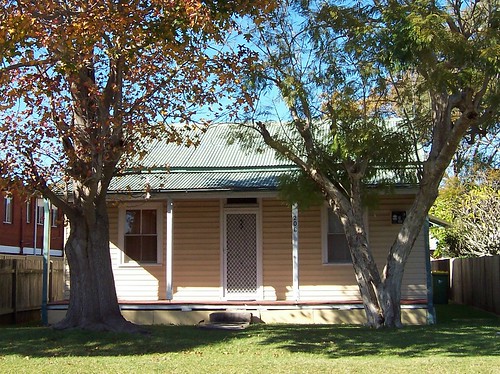
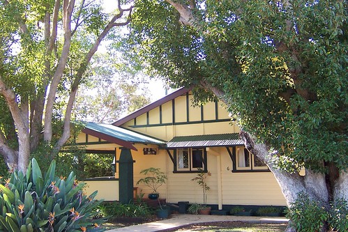
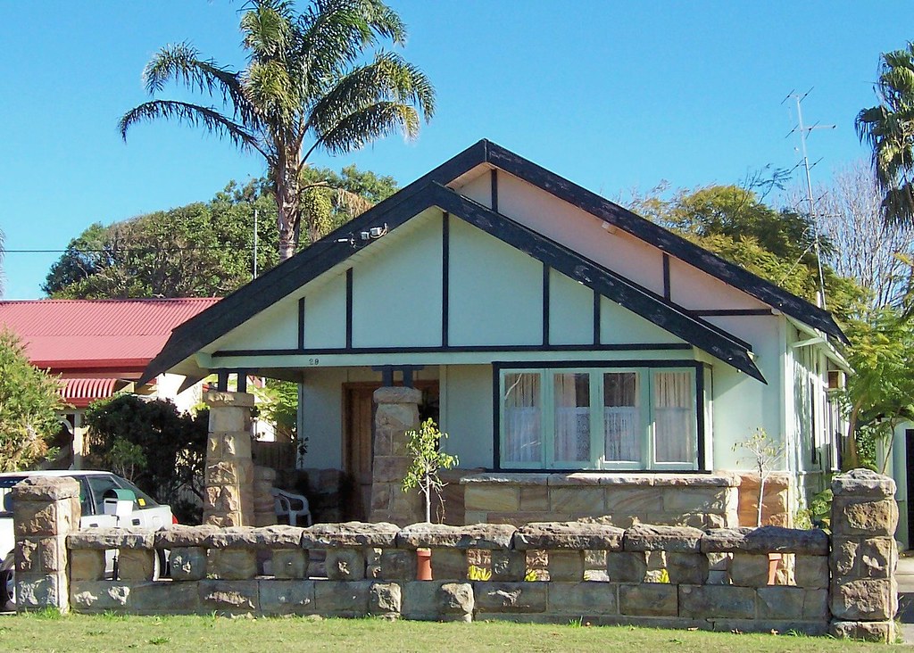
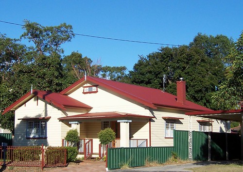
Nice bungalow in Telopea Street. In pretty good nick. The pale green walls look good with the sandstone and that front fence has stood the test of time well.

Booker Bay Road Booker Bay
(Big version)

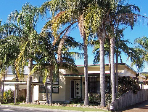
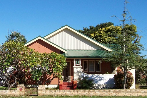
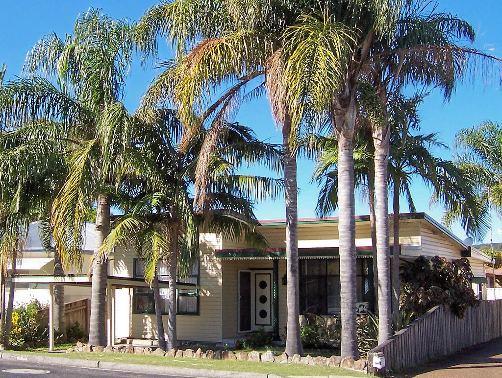
They left the screen door open so that very fifties front door showed up well in my photo. Ta. Despite the cladding, the big windows and the valance of iron lace on the veranda, this place looks very fifties. It's those exuberant palms I s'pose. They look great. Bet they sound magic in the wind as well.

Booker Bay Road Booker Bay
(Big version)

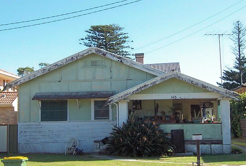
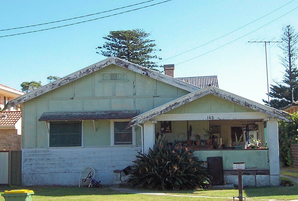
Booker Bay Road. Love the veranda on this one. So deep and cool in the hot Australian summers. And have a gander at that vent on the big version. Fanciest one I've seen in Brisbane Water so far. Pity about the condition of the house. Looks like a rental (decaying, kids' toys, minimal garden) so it probably won't get restored. Bummer.

Also check out the two big old pines in the background. They're the remains of the old Booker Bay cemetery. Go round to Bogan Road to see them properly. They mark the entrance to the old cemetery.

Booker Bay Road Booker Bay
(Big version)

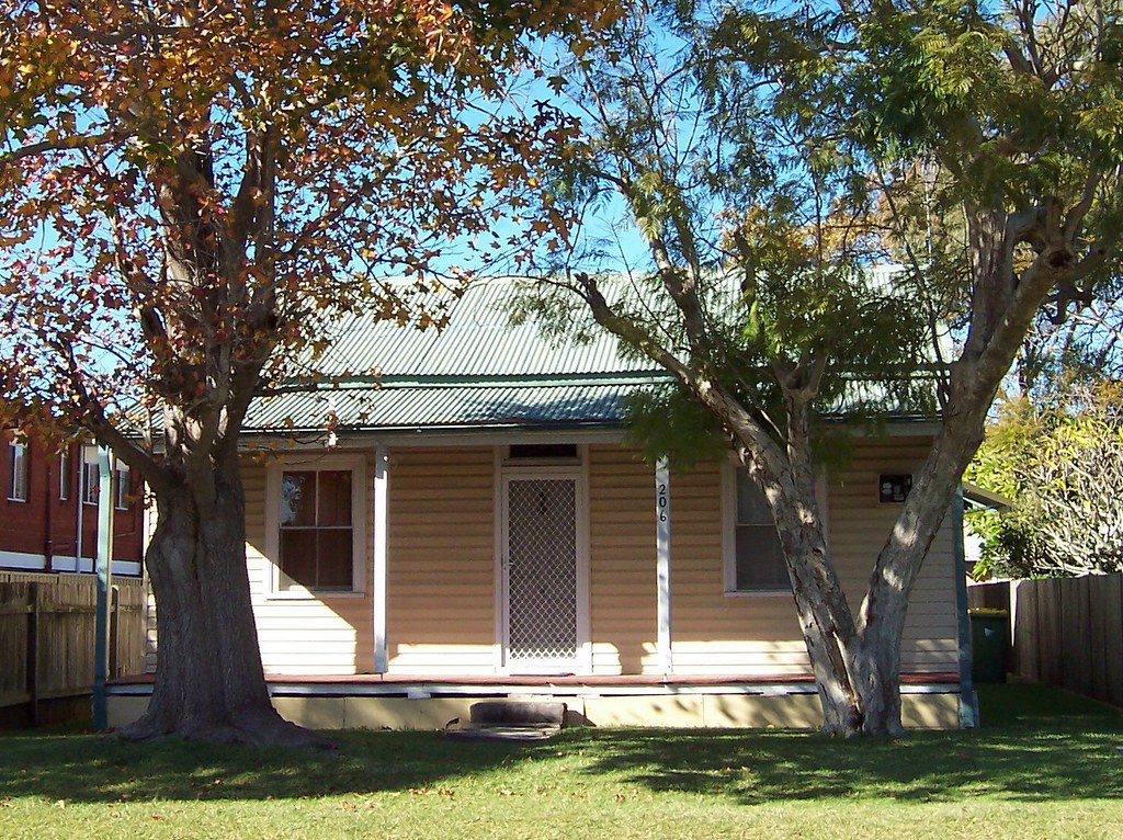
Very simple old cottage made special by the two big trees on its front lawn. Directly across the road from the bungalow above.

Booker Bay Road Booker Bay
(Big version)

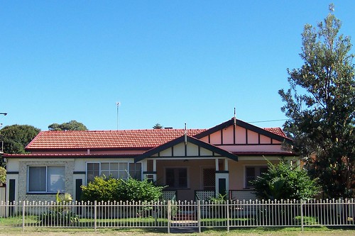
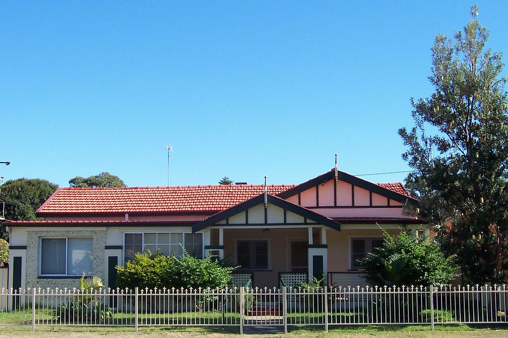
Beautiful. My favourite of all the bungalows I've seen so far and unlikely to ever be dethroned. Looks to be in great nick and very near original. On Booker Bay Road at the corner of Davis Street, just up from the old King's Store.

The Rip Bridge from Guyra Street Booker Bay
(Big version)

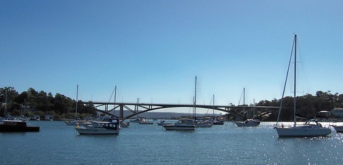
Rip Bridge from Guyra Street Booker Bay. That's the tail of Blackwall Mountain on the left and Daleys Point and Fishermans Bay on the right. Booker Bay is stiff with private jetties but there's a public boatramp in Karua Avenue I think and a public jetty in Guyra Avenue.

Had a nice weekend away by the way. Nothing exciting but quite relaxing. Ate something that disagreed with me though and my guts have been mewing like a kitten all day.

Pop over and have a gander at The Grampians Mountains in Victoria (southern state of Australia) for Aboriginal rock paintings and post-bushfire photos.

Friday, June 09, 2006

Barrenjoey & Blackwall Part II

(Random walkies, Part I)

Barrenjoey Road Ettalong
(Big version)

Barrenjoey Road. Federation Bungalow circa 1890 - c. 1915.

Extended (left end of building) at some point I'd say. Can't really tell when. The left window and the wall around it are seventies or early eighties. But I think the left quarter of the facade is the latest addition with the section between it and the veranda being possibly an earlier extension. That section could also have been part of the original veranda which was then converted to a room in the 1980s.

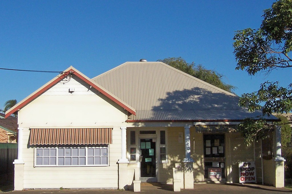
Blackwall Road Woy Woy
(Big version)

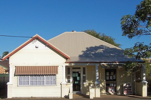
Blackwall Road, opposite the blue school at Park Road, houses an op shop for the Anglican church next door.

Haven't had a gander at the foundations of this one yet or its chimney or down the side so I've got no clues to its age other than its shape. Looks like it might be Victorian Georgian circa 1840 - 1890, with an addition on the front (left) in the 1980s or 1940s.

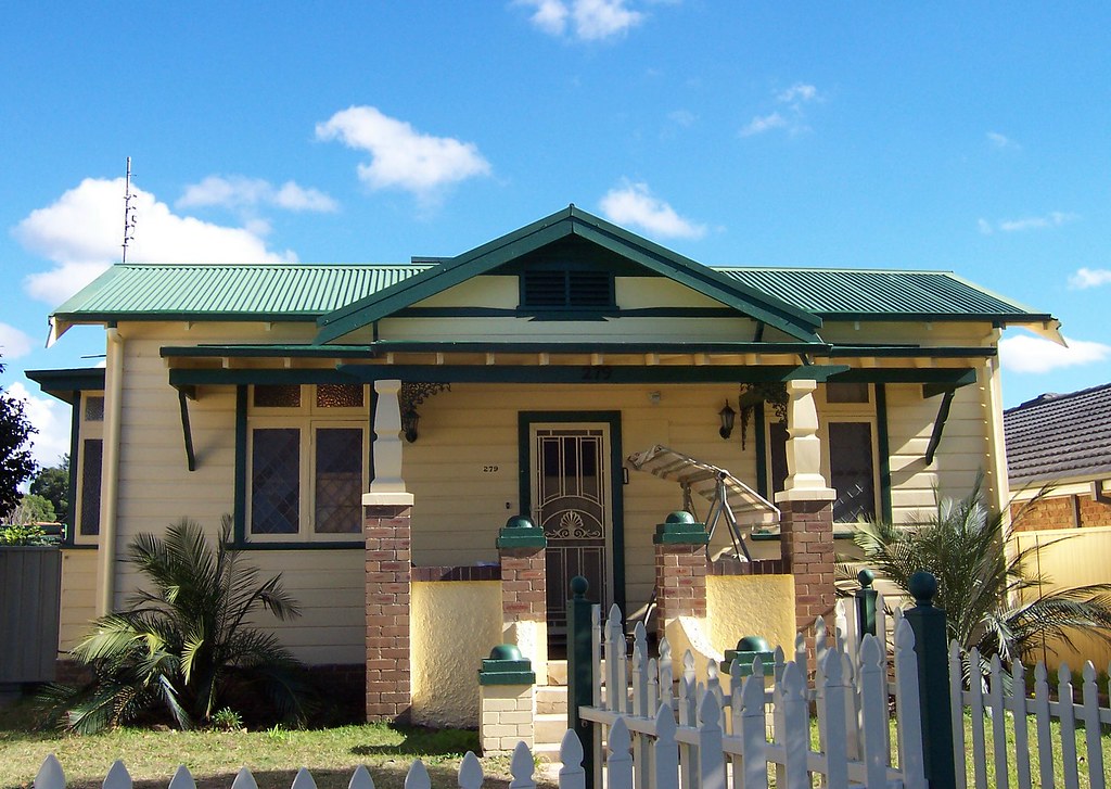
Blackwall Road Woy Woy
(Big version)

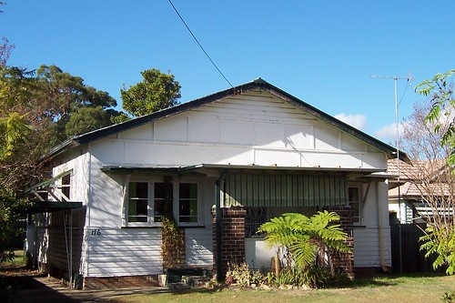
Blackwall Road. Federation Bungalow. Needs a good bit of maintenance but looks pretty close to original.

Blackwall Road Woy Woy
(Big version)

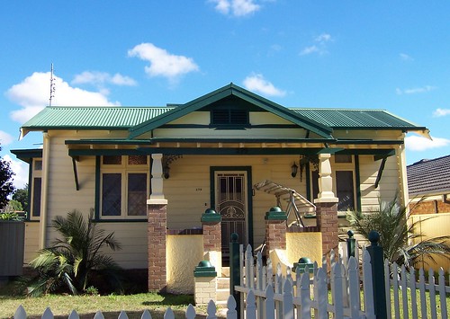
Blackwall Road. Very nice colours. That little bit of iron lace on the veranda is not part of the Federation Bungalow style (circa 1890 - c. 1915) but is nice.

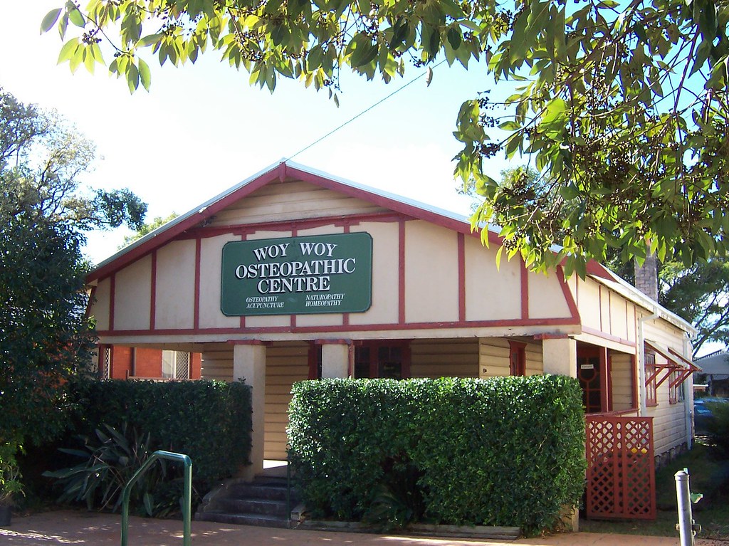
Blackwall Road Woy Woy
(Big version)

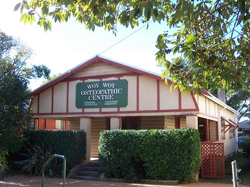
Wasn't sure until I saw the pepperpot chimney that the back half of this one is Federation Bungalow. Bit it is. Seems to be in fairly good nick on the outside but the inside is probably all switched about to suit the business.

Still no change at St John the Baptist after the demolitions. Not even the foundations for the new building/s have been put in. Maybe they have to do some maintenance on the old church first, who knows.

It's raining again now. Silent misty rain with the clouds almost touching the hills and ridges. Went on another training thingy this morning when it was dry. Hour and a half. Better pick it up to 2 hours by Monday.

Thursday, June 08, 2006

Barrenjoey & Blackwall

(Random walkies)

Blue sky at dawn today. What bliss to walk in the gentle winter sun again. It's going to piss down again all weekend the telly says, but I'll be away so I don't care.

Rickard Street Umina
(Big version)

Lovely Federation bungalow (circa 1890 - c. 1915) with a sympathetic second-storey addition (not visible). All those beautiful old trees and the beach at the end of the road. Great house to grow up in.

That is your lot for today. Flickr had to have a little lie-down right in the middle of my post and it's dinnertime already.

Wednesday, June 07, 2006

Dark but dry

(Random walkies)

It's been a dark wet week. Proper winter weather. Can't complain. This morning's walk was damp but not actually raining. Went on another training thingy along the route of the Fun Run. Been cooped up and not walking much for four days but it was fine. Beat the rain to my end point by the ski of my teeth.

Gosford & Green Point on a wet morning
(Big version)

Gosford (ish) and Green Point from Brisbane water Drive near Tascott railway station.

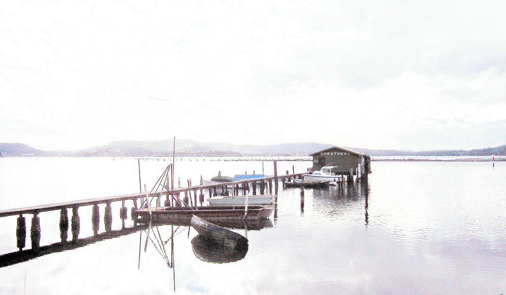
Sheather's on a wet morning
(Big version)

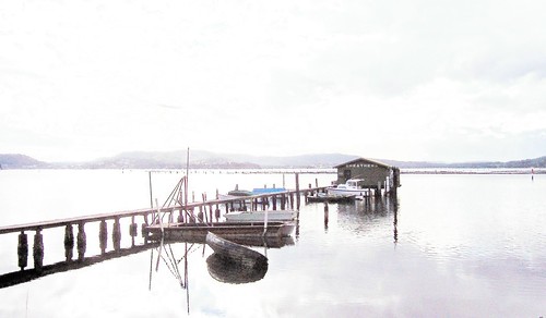
Sheather's have been selling fresh oysters from this shed since Noah was in short pants and that old wooden dingy has been slowly sinking for at least five years.

These photos were darker than a coal cellar at midnight when I got them home. But the water's as still as buggery and the reflections help make them a good subject for some tweaking fun. Haven't used the photo editing software much so this was fun.
Sun's out again at the moment. Might go for another walk if it stays out. The more the merrier.

(Hopefully today's post is better spelt and checked than yesterday's. I need more sleep.)

Tuesday, June 06, 2006

Holy Cross Church

(Random walkies)

Bugger all walking done this last few days. It's been raining a fair bit. Been a bit crook. Laid on the sofa listening to the weather all weekend. Feeling pretty smug about the new sofa. The guy was so busy trying to con me for a double delivery fee he didn't notice he'd left a hundred off the bill. Mwha! Anyways, these photos are from last week when the sun was out. S'posed to be clearing again on Thursday. Hope so. I'm feeling a bit caged.

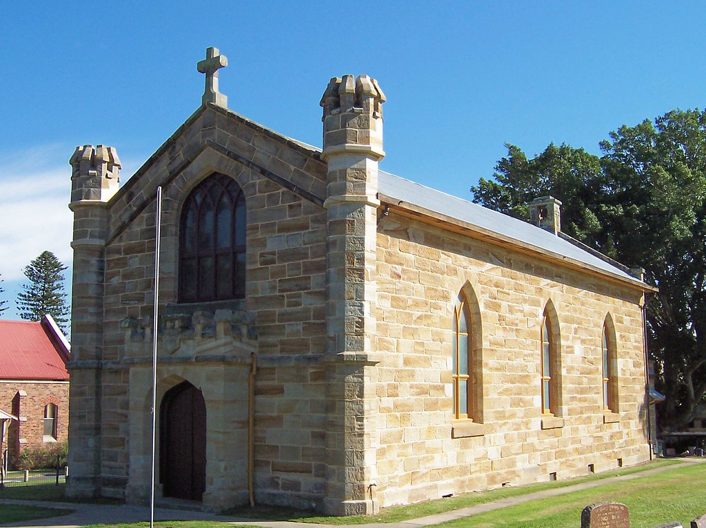
Holy Cross church Kincumber South
(Big version)

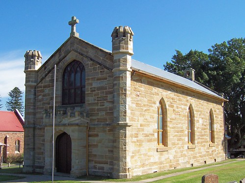
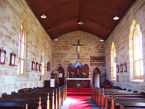
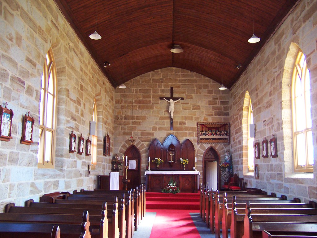
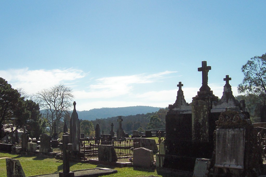
At Kincumber South there's an old orphanage and a small sandstone church. It's bigger than St Paul's a few minutes up the road. St Paul's was built in 1847 and Holy Cross was just before it in 1842. There's a wee old cemetery beside it which is quite lovely and Mary MacKillop's convent and school behind it. The Holy Cross website says some pioneer guy called Humpreys donated the land to the church in 1838. That'll be his name then on the road the church sits on, Humpreys Road.

Holy Cross church Kincumber South
(Big version)

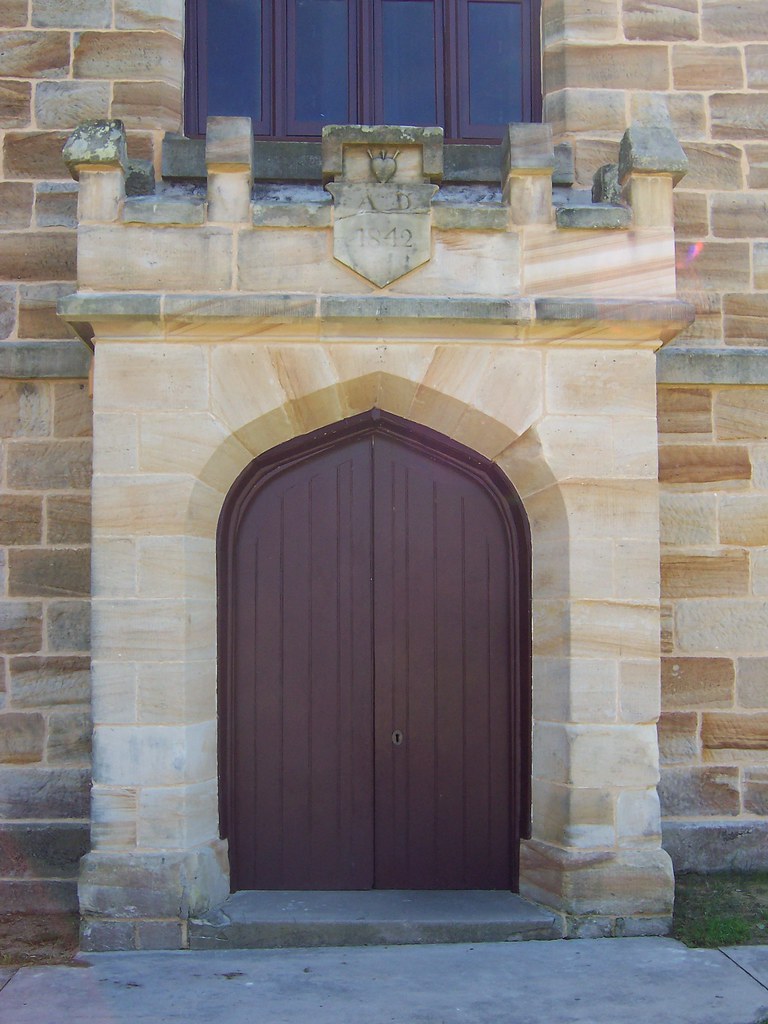
Holy Cross church Kincumber South

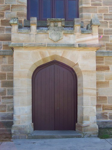
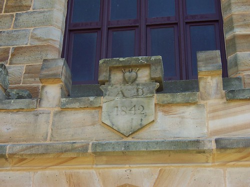
"AD 1842" it says and above that there's a heart with what appear to be nails sticking out of it. Some sort of religious symbolism thingy no doubt.

Holy Cross church Kincumber South
(Big version)

The sandstone, according to the NSW Heritage Office came from the property of William Samson Pickett, which the Herald says was or is adjoining. It's not my cup of tea. I like a fine grained sandstone in creamy and golden colours like the stuff used on St Andrew's in Sydney.

Holy Cross church Kincumber South
(Big version)

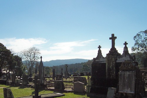
Looking down into the bowl of the Kincumber Broadwater from the wee cemetery beside the church. The church-orphange grounds had a few cows and a vegie patch on it. The Kincumber South area is semi-rural.

Holy Cross church Kincumber South
(Big version)

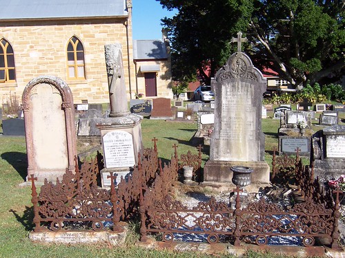
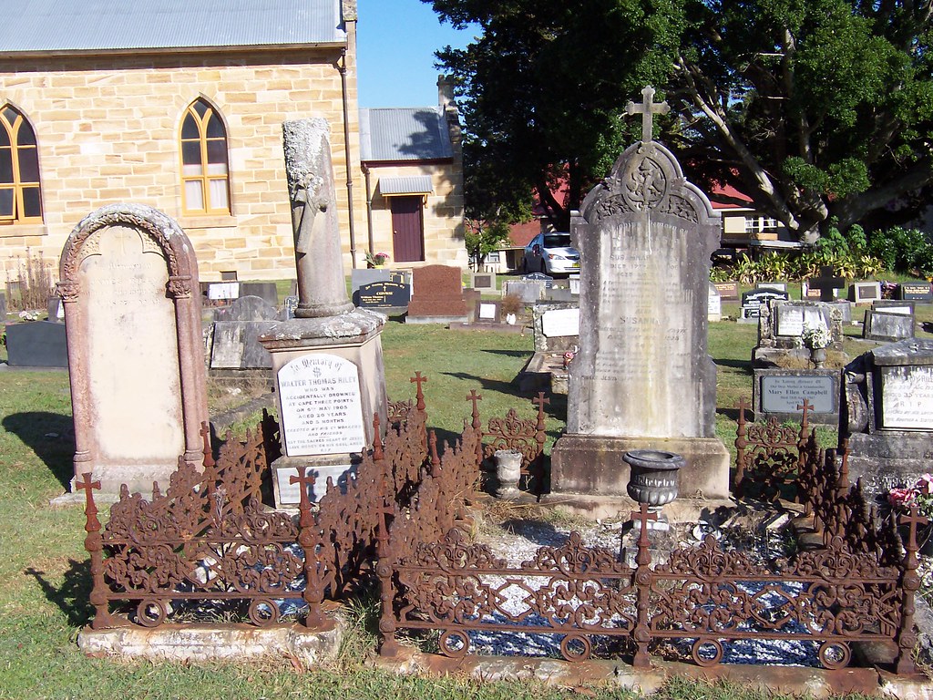
Love the wee fences round these two, all rusty old iron lace. All three headstones are Riley. The one in the middle reads:
"In Memory of
WALTER THOMAS RILEY
WHO WAS
ACCIDENTALLY DROWNED
AT CAPE THREE POINTS
ON 6th MAY 1905
AGED 20 YEARS
AND 5 MONTHS

ERECTED BY HIS Co WORKERS
AND FRIENDS"

There were plenty of lovely old headstones like these and some going back to 1842. The Heritage Office says the graveyard "has scientific significance for its potential for research" and contains "graves of many early settlers. Land donated by Thomas Humphreys, local settler and church community member. Resting place of Thomas Humphreys ... Patrick Mulhall (pioneer of Wagstaff) ... and others associated with the settlement of Kincumber." Cool.

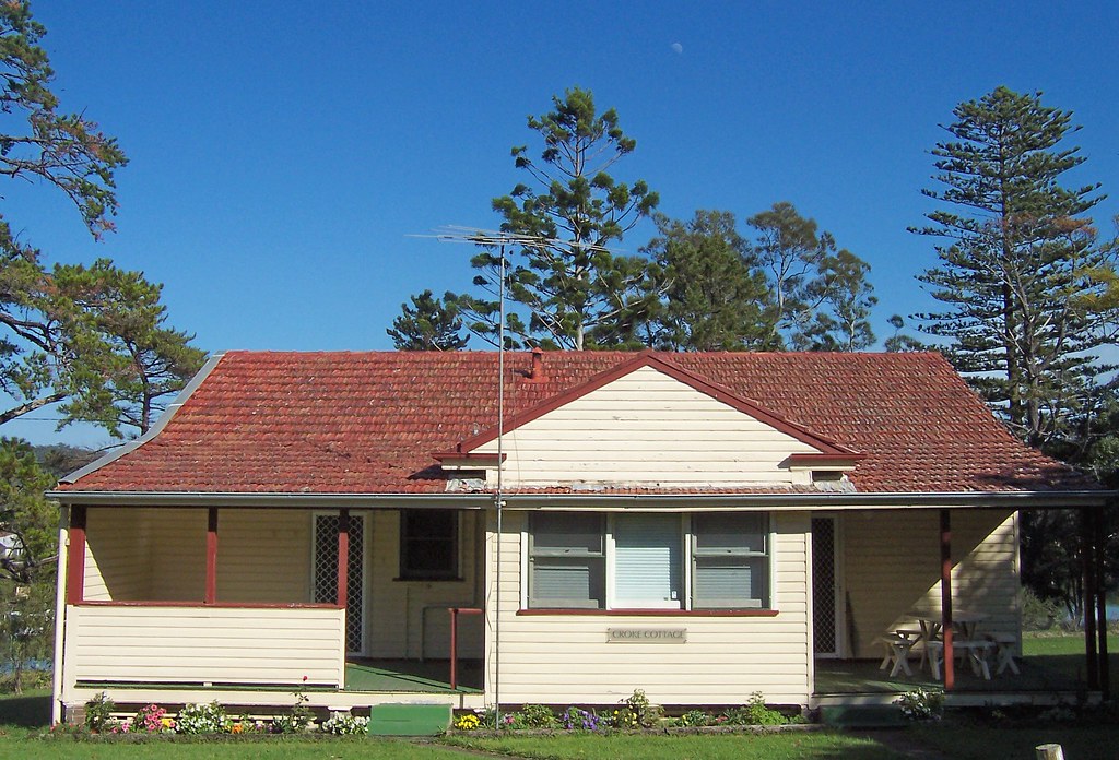
Croke Cottage at St Joseph's Orphanage Kincumber South
(Big version)

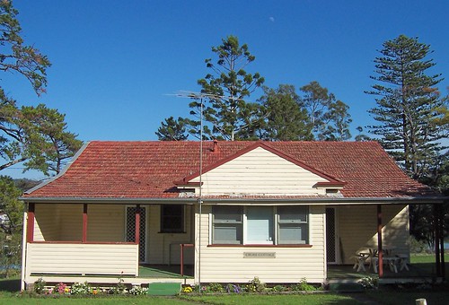
Croke Cottage. Sitting behind the school building and named after one of the Fathers I think.

St Jospeh's orphanage school Kincumber South
(Big version)

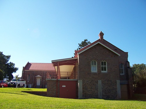
The old school building, as viewed from beside the loos.

Went into the wee museum set up in one of the old school rooms. Lots of old photos of boys from the orphanage when it was going and schoolroom stuff, inkwells and cramped wooden desks and the like. Very interesting but it must've been scary in there being taught by penguins wielding steel-edged rulers in the days when corporal punishment was considered good for the soul.

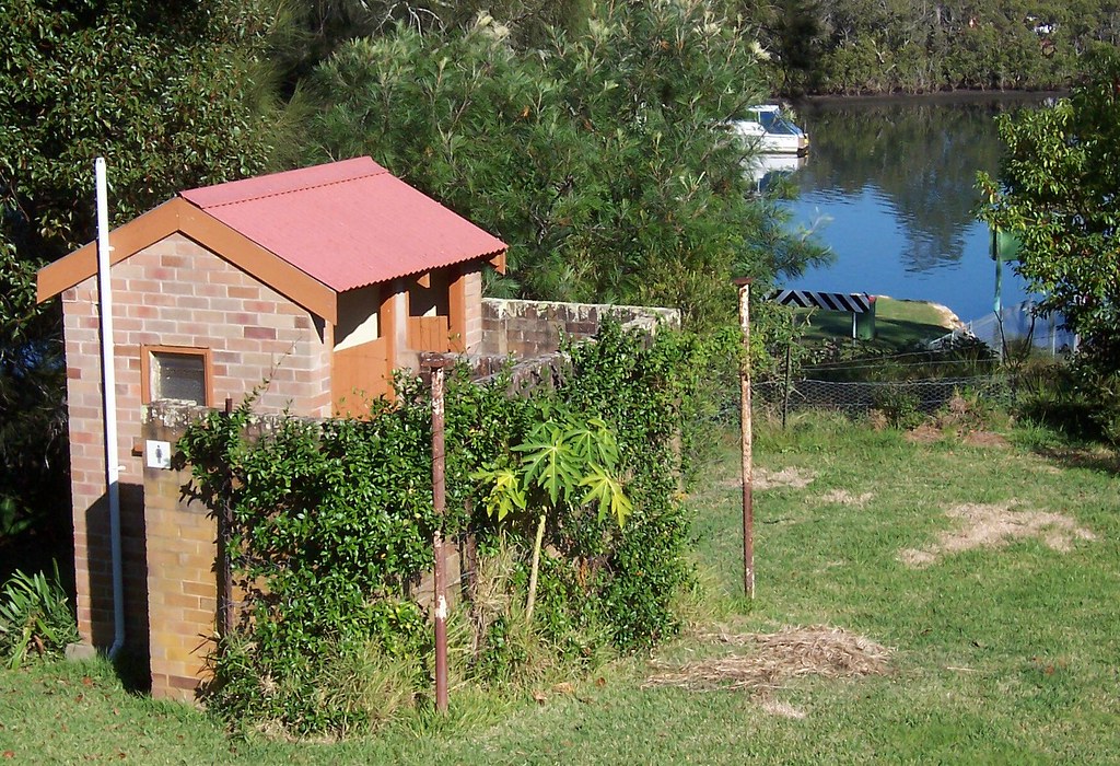
St Jospeh's convent school Kincumber South
(Big version)

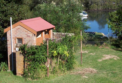
Loo with a view, if it weren't for the wall. Just downhill from the school building. You can see how close to the water the whole church and school thing is. The ferry wharf is right behind the trees behind the loos.

Mary MacKillop

Mary MacKillop
(Embiggulation unavailable)

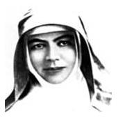
MacKillop might be Australia's first saint sometime soon. Not being a catholic I know bugger all about such things but I do know she's been beatified. Whatever that is. Keep coming across references to her in the Brisbane Water area. She started a Josephite order of penguins and this orphanage and convent thingy is one of the places where they roost.

Friday, June 02, 2006

Blackwall Road

(Random walkies)

Nice brisk walk this morning. Quite cold. The traffic was going towards the station and I was going the other way. Got plenty of resentful stares from drivers who'd rather be going walkies than going to work. I grinned back smarmily.

Blackwall Road Woy Woy
(Big version)

Lovely veranda on a smart bungalow (circa 1890 - circa 1915) on Blackwall Road. I've not seen a wooden veranda rail on a bungalow before but there's an example of one in my architectural styles book. The pendants and finials (pointy bits attached to the gables) also appear on bungalows so they're not, as I suspected, a recent addition in the spirit of Federation Revival.

St Luke's Blackwall Road Woy Woy
(Big version)

St Luke's on the corner of Billabong Street. A local landmark ("Look for the wee white church and MacMasters Road is just after that") and nice little bit of Federation Carpenter Goth (circa 1890 - c. 1915). The side windows have yellow glass and are pointy.

Blackwall Road Woy Woy
(Big version)

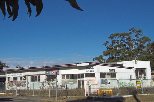
Thought this fifties garage would be knocked down by now. It's maybe a year since it fell empty and the fence went up. Glad I got a photo of it while it's still standing. I'm expecting to see another retirement village in its place sooner or later.

Half the shops in Deepwater (Woy Woy shopping centre) had half off their stuff. Struggled through Kmart and fought my fellow sufferers for a new pair of strides and a wooly scarf. God, I hate shopping. Retail therapy my arse. My walk and struggling through the shops warmed me up nicely. Sun's gone now. There's a cold wind and it looks like rain. I'm going to put my feet up and have a nice hot cuppa.

Thursday, June 01, 2006

Mann Street

(Every-street walkies, Gosford #11)

First day of winter. Nice and cold this morning (6 degrees celcius/44.6 fahrenheit) and nice and sunny. The days are around 17 at the moment (62.6F). I love the cold. I can walk as far as I like. Mind you, the worst it'll get here is maybe 5 during the day (41F). Australia is not a cold country.

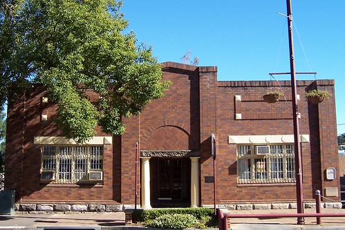
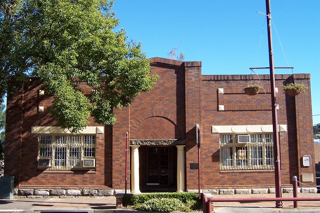
School of Arts Mann Street Gosford
(Big version)

The old School of Arts. Directly opposite the Art Deco funeral parlour. The funeral parlour is Creighton's and the original School of Arts was built by R. H. Creighton's father (funeral director), Jack Sohier, Sid James and Reg Young. The Creighton's were carpenters before they got into the funeral parlouring trade.

It's a teachers' "resource centre" now. Knowing teachers (I am one) it's used mainly for swotting for promotion exams, slagging off the government over cups of tea and hiding from students.

My notes from the library tell me the original building was built in 1888 and served as library and Municipal Chambers (town hall) and had a 250 seat hall. It burnt down in 1927. This building was rebuilt on the old foundations and the brick front was added in 1929. The teatowel drying in the right hand window is a nice touch.

The NSW Heritage Office has the style at "Stripped Classical" and my architecture book (Apperly Irving Reynolds' Pictorial Guide to Identifying Australian rchitecture) agrees. "Inter-War Stripped Classical c. 1915 -c. 1940" says the book and "tends to look like an Inter-War Academic Classical building from which the columns, entablatures and pediments have been peeled off". Entablatures turn out to be all those fancy bits at the tops of columns.

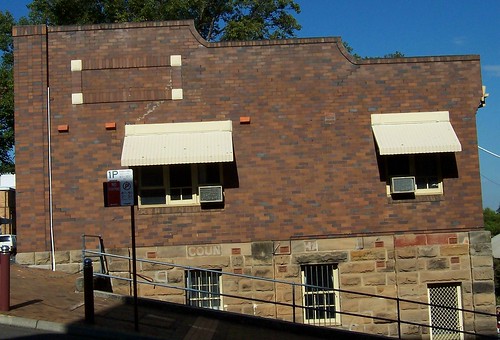
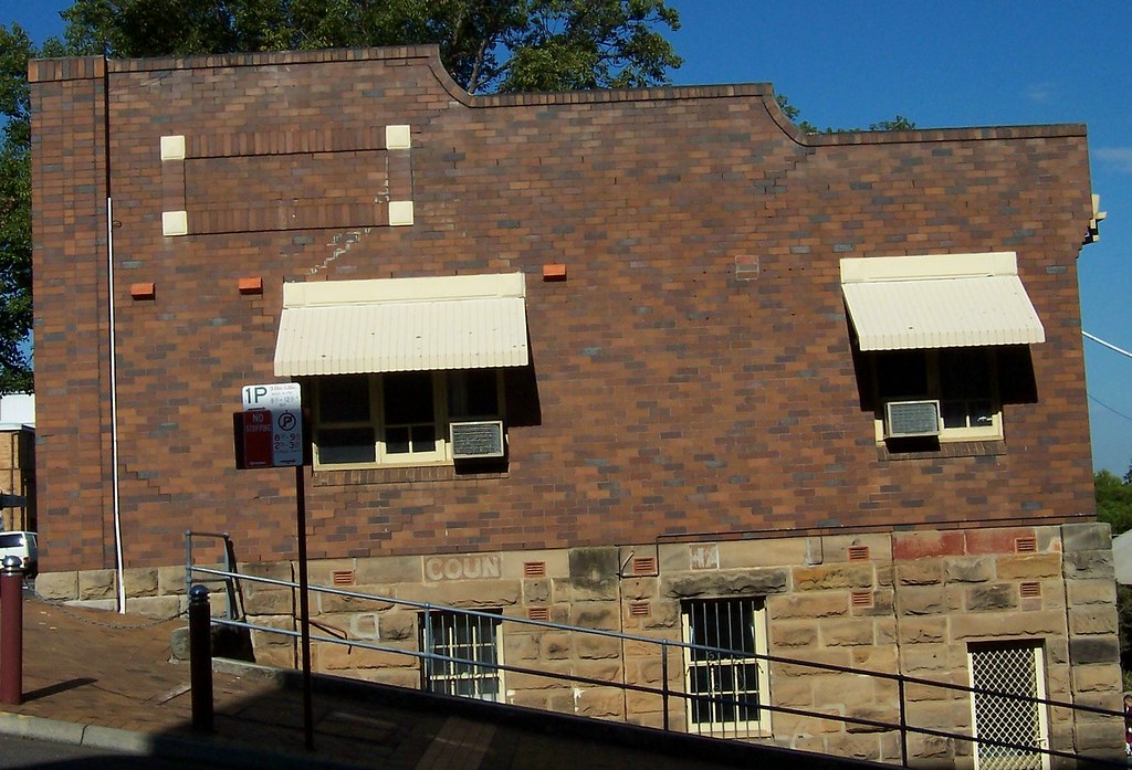
School of Arts Mann Street Gosford
(Big version)

When it burnt down in 1927 the foundations remained. That's them in sandstone, the lower half of the building.

This view is from Georgiana Terrace. It's a bloody steep street but it doesn't help that I was standing on one leg on the gutter.

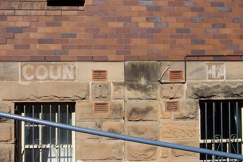
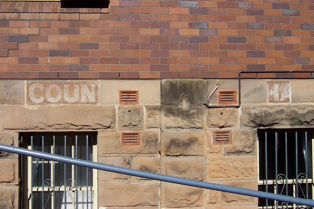
School of Arts Mann Street Gosford
(Big version)

You can still see part of the words "Council Chambers" painted on the side from when it was the 1888 building. I doubt if the blackened stones are still sooty from the fire. It looked more like some sort of lichen or whatever.

Tell you what I don't like about the cold weather. It makes me bloody hungry. I have a big breakfast and by 11 o'clock I'm so hungry I'm gnawing the bloody carpet. Thank Christ for cuppa-soup.