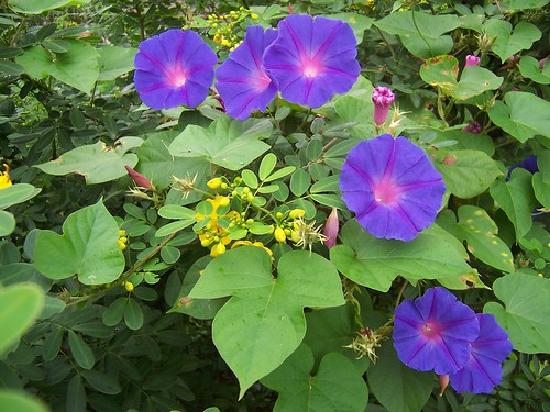
The yellow flowers are everywhere around Brisbane Water, on large loose bushes. The purple ones are a climber that hangs over the wire fence along the railway line.
(Took this before the light went to hell. Right now it's gone all dark again, as dark as the third photo. Pissing down raining too. Been at it since all day. it nippy actually. Funny old weather for the last day of Spring. Usually I'd be blogging in me underpants and whinging about the heat.)
Anyways, I went into Gosford then tramped up and over Henry Parry Drive and into East Gosford. Went to a street there I'd seen from when I found the old quarry. Between it and the quarry is a small valley and across the valley I could see a street. So today I walked it.
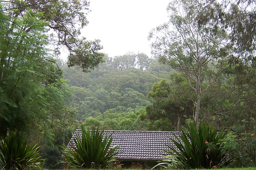
Rumbalara Reserve from Bay View Avenue East Gosford. Nice street Bay View. Not too badly infested with the 1970s buildings, bush and water views on one side, water views on t'other side, and bush up the back.
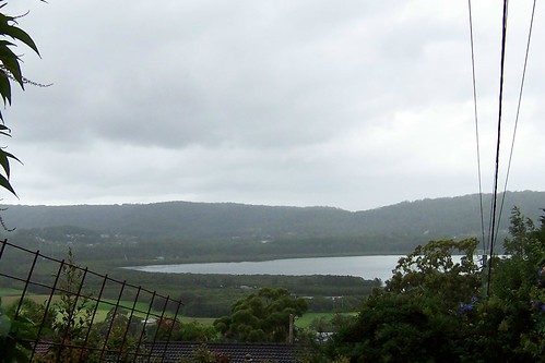
This bay doesn't have a name in my 2006 street directory. Let's just call it Punt Bridge Bay because you can see it from Punt Bridge as you drive along The Entrance Road to Bloody Erina (Erina Fair).
The grassed bit on the lower left hand of the photo is Hylton Moore Park soccer oval. The trees around the bay are mangroves. The houses on the other side of the water are the Sun Valley Road area off Avoca Drive near Ironbark Point. The hills behind them are part of Kincumba Mountain.
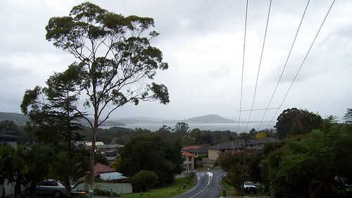
The hill in a line with the road is Saratoga. The tree on the right of the photo is obscuring Woy Woy. The low bit to the left of Saratoga is Yattalunga. The hill behind is Killcare Heights (beyond which is the Tasman Sea).
Behind the tree in the left foreground is Green Point and Kincumba Mountain slopes off to the left edge of the picture.
The street was bloody steep. And it was raining. I muttered and grumbled and whinged my way up it. Turned round when I got to the top and had a look at the views. Bloody excellent. No doubt you could see all the way to Barrenjoey Head on a clear day but I rather like the misty views of a rainy day.
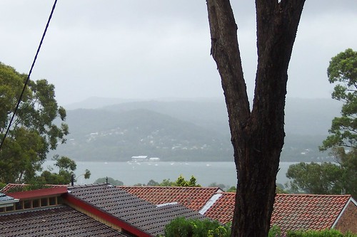
I particularly like this one from the other side of the road. TS Hawkesbury & Point Clare seen across The Broadwater, with Kariong and the ridges folding in behind on their way to Mooney Mooney Creek and the Great North Walk.
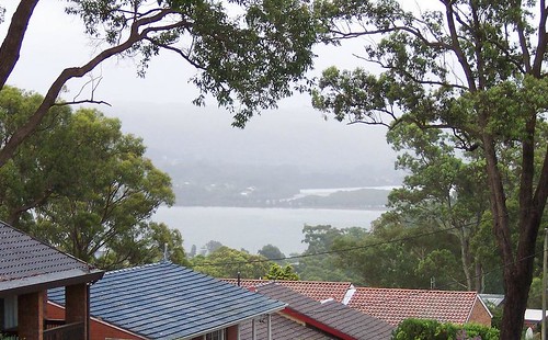
The Broadwater, Fagans Bay (right) and the houses along its southern edge. Fagans Bay is separated from The Broadwater by the railway line as it comes into Gosford from Woy Woy.
Up the top of the street it was flat and the houses were back from the road. The rain spattered on my brolly and the wind shook the tall gums. I could see Rumbalara Reserve across the valley and hear a bell bird in a tree somewhere. Despite being quite close to the traffic down on York Street, it was quiet and isolated.
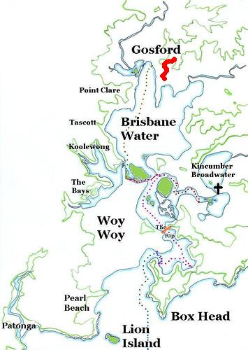
Ignore the ferry routes. Look at the red wiggly line up the top. That's Bay View Avenue. It's way up on a ridge and the view from up there goes right down Brisbane Water.