Showing posts with label Woy Woy to Gosford Cycleway. Show all posts

Saturday, July 11, 2009

Blue sky cold day

(Random walkies in Koolewong)

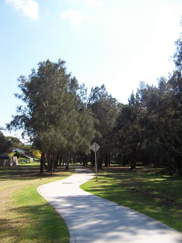
Cycle path at Koolewong

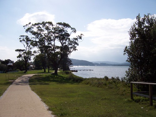
Cycle path at Koolewong.

Lovely avenue of trees along this part of the path. A long stand of casuarinas whispering in the wind on the park side, mangroves with the water slapping about their roots on the water side.

(Kept typing root instead of roots. Wonder what I'm thinking about!)
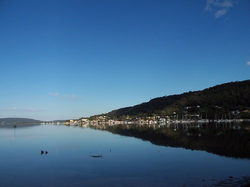

Koolewong from Koolewong

Koolewong from Koolewong.

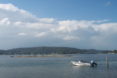
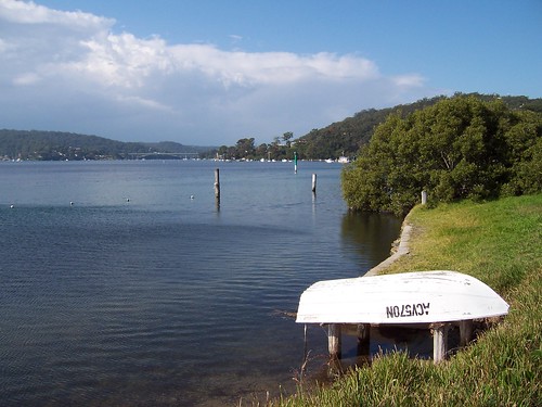
Koolewong is a shallow bay. This is taken from one side of the bay looking at the other.

Well, okay, technically it's two bays. This bay and Murphys Bay.
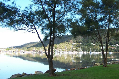

Shady Koolewong from Brisbane Water Drive June 2009

Shade on the ridge and the soft filtered light through the casuarina needles.
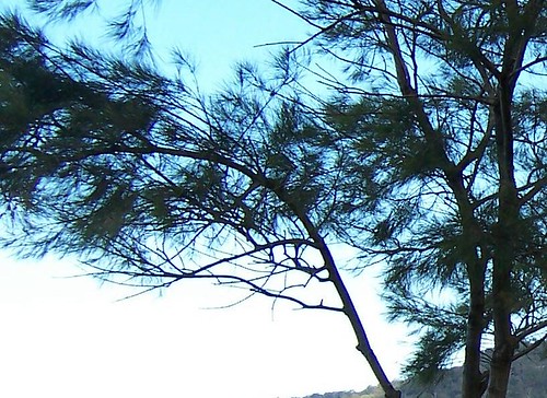

Soft weird light through the casuarinas

Soft weird sky seen through the casuarinas.
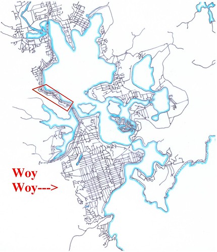

Brisbane Water Streets - Koolewong

That's Koolewong there in the red box. It's a narrow strip of flat land and a couple of streets going up the ridgeside a bit.

It has bugger-all streets compared to Woy Woy. Or compared to anywhere really. Except maybe Patonga, which has five streets.


Pissing down most of the week. Today can't make up its mind. I can. I'm off to a barbie. At which I will not eat bacon, pizza or those really fat sausages not matter how good they smell. Nor will I be imbibing of the amber fluid. How boring is that?


By the way

That Rip Bridge photo everyone loves got invited to the Best of Australia group in Flickr. One of them invite-only photo groups. Goes to show how a bit of practice can turn a crap photographer into a decent photographer.

How to take decent photos

Saturday, May 09, 2009

This isn't Pelican Island

(Random walikes in Woy Woy)

Tidal islet & The Rip Bridge from Blackwall foreshore

The clouds piled up high in the north-east in the morning, a big wide front in an otherwise blue sky. I went walkies while the sky was still blue.

Wandered along Blackwall foreshore. Which runs from the playground up behind the bowls at the end of North Burge Road to the jetty at Blackwall Point. Scroll down for the map.

That wee tiny islet covered is pelicans is pretty much a tidal islet, that is, it's not there at high tide. At low tide it whiffs something cruel due to all the pelican shit.

It is the islet that isn't Pelican Island. Peeps think it's Pelican Island because it's covered in pelicans but it ain't. Yer actual Pelican Island, as blogged in April 2009 and January 2007.


The Rip Bridge & Blackwall Mtn from Blackwall foreshore

View along the waterline to The Rip Bridge joining Booker Bay/Orange Grove in Woy Woy to Daleys Point. That's Blackwall Mountain lurking in the background on the right. The bridge goes from its foot across to Daleys Point.


Private jetty at Blackwall foreshore

The ducks really appreciate the private jetties. That tree is a mangrove.


Blackwall foreshore bike path is finished

The bike path from Gosford to Woy Woy is finished at last. It goes up to Allfield Road or one of those streets near there then disappears.

The view is across to the low bit between Mt Pleasant at Saratoga and the lower hill of Davistown. That flat-topped mounain in the background is probably Kincumba Mountain at Green Point.


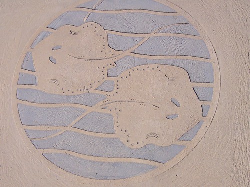
Stingray plaque on Blackwall foreshore bike path

Small roundish stingrays what lurk in Brisbane Water. Someone sent me some photos of them last year.


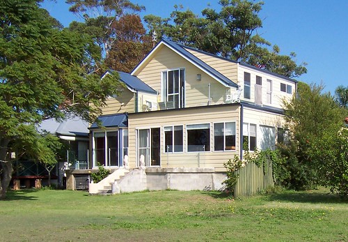
House on Blackwall foreshore

Look at that balcony there on the top. Excellent spot for drinking in the warm winter sun whilst eating yer breakfast.


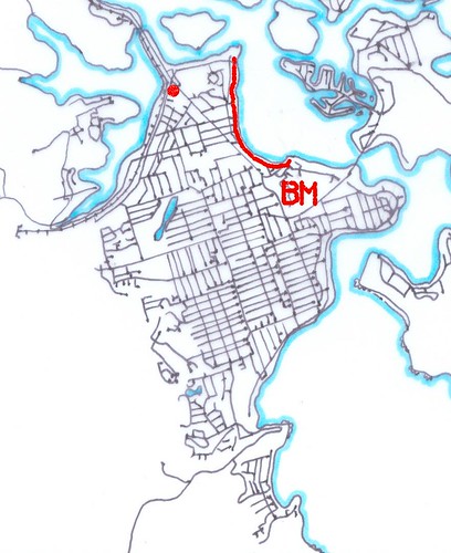
Blackwall foreshore map

The red line is Blackwall foreshore.

The red spot is Bustling Downtown Woy Woy.

The BM is Blackwall Mountain.

The straight road running from the red spot to the BM is Blackwall Road.

Mmm...maps

Blackwall foreshore from Blackwall Mountain (photo)


Local linkage

K.P. Brown, another Yank in Oz, blogged a few nice view photos from the ridge above Koolewong.


Right then. Ravenous. Will stop adding links and go and hunt some lunch down. See yer next week.

Friday, April 27, 2007

Fairlight to Fagans Bay

Got up in time for lunch today. Made a sandwich, bunged it on a plate, sat down in front of it and nearly chundered. The guts are playing me up again. Spent the last two nights on the bloody loo in a jumper. Am thoroughly shat off.

On the upside, it's good weather for staying indoors and sleeping. The sky is a uniform undercoat grey and it's just the right temperature for laying on the sofa under a quilt swearing at the crap on TV.

Woy Woy to Gosford Cycleway

Went walkies at Point Clare last week. Off Brisbane Water Drive between the Point Clare roundabout and Fagans Park, down Collard Road, into Welwyn Avenue past Fairlight and left beside the underpass at the bottom of the street.

The cycleway goes from next to Woy Woy Wharf along the west side of Brisbane Water past Koolewong, Tascott, Point Clare, Fagans Bay and West Gosford and finishes in Gosford at the sailing club on Masons Parade. It's the route of the Woy Woy to Gosford Bay to Bay fun run and I'll be walking it again this year.

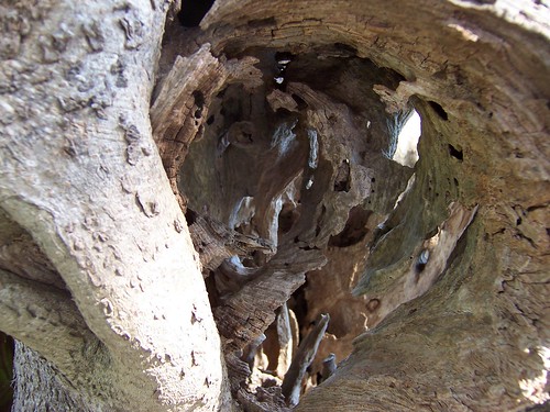
Hole in tree
(Embiggen)

Just for pretty. A tree near the path.

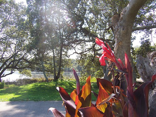
Garden, Cycleway & Fagans Bay

Some people's gardens come right down to the path. With the backyards being so close to the path, resident dogs have plenty of cyclists and walkers to bark at all day.

That's Fagans Bay in the background.

The flowers I thought were rhododendrons but apparently they're not. I'm buggered if I know what they are then. I see the buggers everywhere and I've been calling them rhododendrons all this time.

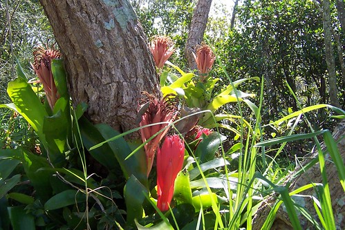
Bromeliads beside Woy Woy to Gosford Cycleway
(Embiggen)

These I know are bromeliads. One of the Dear Old Things downstairs has got a tiny greenhouse crammed to the brim with the buggers. Quite spectacular some of them are.


Okay. I'm going to settle down under the quilt and watch the Antiques Roadshow.