
Embiggmification
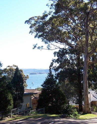
There yer go. Now you can see what I mean when I say the Saratoga/Davistown peninsula is hammer-shaped. Saratoga is the first stop on the Saratoga and Codock II ferry runs.
(In an hour the Flickr version map & photos will be annotated. Which will save you reading all that stuff and looking for the third tree on the left.)
Gosford is off the map up past the top left corner. Woy Woy is, obviously, the one marked Woy Woy, down there at the bottom.
Rileys Island and Pelican Island and those two little ones are uninhabited. St Huberts is the canal'd one with all the seventies houses on it.
The cross halfway up the right hand edge is the Holy Cross church and St Joseph's orphanage, where the old ferries were operated from.
Embiggmification
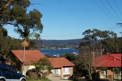
View to Woy Woy from Shaw Street.
We're looking straight across to the Bowls at Woy Woy, at the end of North Burge Road.
To the left of the Bowls is the foreshore park running parallel to North Burge Road.
To the right of the Bowls is the foreshore park running parallel to Brick Wharf Road and into Bustling Downtown Woy Woy between the pubs.
The Woy Woy Channel is running back from the furtherest cluster of boats and that's the tip of Pelican Island to the right of the boats and the Veteran Hall Wharf on Henderson Street below Pelican Island.
Embiggmification
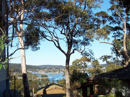
View to St Huberts from Shaw Street. Took a while to work out what I was looking at with this one.
First is that tight grove of trees on the grassy area (between foreground trees). That is Illoura Reserve, the part at the end of Malinya Road. Passengers on the Saratoga ferry will see it as the ferry turns the corner from Lintern Channel into Cockle Channel and heads for Central Wharf.
Empire bay is beyond that and to the left of the foreground trees, and the house there is on Myler Avenue or Yaringa Parade. The hill above that house is also Empire Bay.
To the right of the left foreground tree is the ramp down to St Huberts Island.
St Huberts is hard to distinguish from the houses of Daleys Point behind it so we won't give ourselves eyestrain trying.
The hill behind St Huberts & Daleys Point is Killcare and beyond Killcare is the Tasman Sea.
On the right edge of the photo is Blackwall Mountain. Probably. It's too close to be Mt Ettalong and nothing else in that direction is high.
To the left of that, just visible in the far distance, is Barrenjoey Head and in front of that is the sandstone cliff that forms the eastern end of Lion Island and the chest of the lion.
Embiggmification
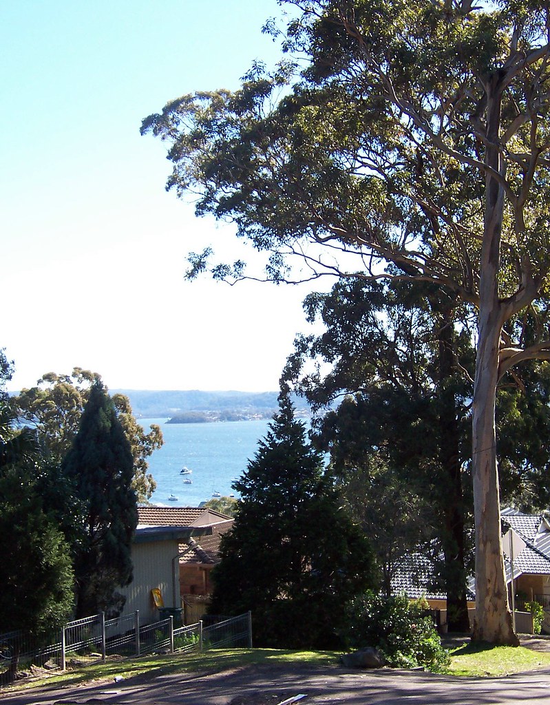
View to Gosford from Kapala Avenue.
That's Longnose there, Point Frederick, with the old cemetery on the end there in Pioneer Park.
Behind it is the hills of West Gosford and beyond them we're looking at the Peats Ridge/Mangrove Mountain area.
2 comments:
I heart your maps.
Thank yer.
Your photography skills are only getting better BTW.
Post a Comment