
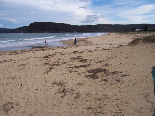
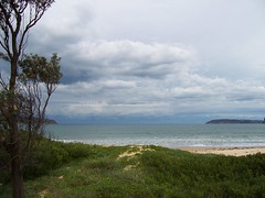
Taken today.
The tsunami would have come in through the mouth of Broken Bay (heads pictured) and hit at Umina Beach (in foreground).
Australia & NZ map on last night's post
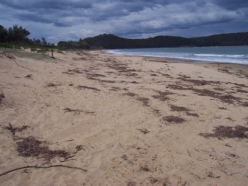
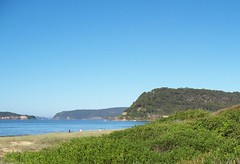
Taken today. You can see how much damage there isn't.
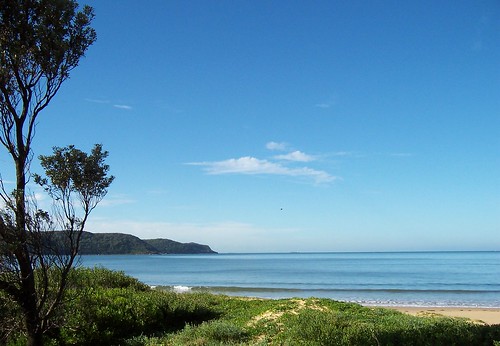

Similar views taken a couple of weeks back.
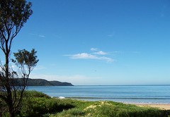
Before and after

Before and after
Bit of an anti-climax but it got us thinking about where we'll run to when the real thing comes.
Meanwhile, in New Zealand
"Four more strong aftershocks have shaken Fiordland this afternoon following last night's 7.8 earthquake.
One quake measured 5.3 and hit the area at 12.24pm. Another tremor, measuring 5.6, was felt 20 minutes later, followed by a 5.1 quake at 1.30pm.
The latest, at 2.13pm, measured 5.1 and was at a depth of 12km, 80km west of Te Anau.
...
The initial quake, which was centred 100km northwest of Tuatapere and 12km deep, struck at 9.22pm yesterday and triggered an alert from the Pacific tsunami warning centre in Hawaii."
Full article at NZ Herald
2 comments:
I didnt even know about it until I woke up this morning and watched the 5.30am news
in an event of a tsunami hitting us we would only have to go as far as either blackwall mountain or the mountains up the top of lone pine ave
You were not alone. The peninsula seemed to be evenly divided between those dancing with relief and those saying "tsunami? there was a tsunami?".
See you atop Lone Pine :)
Post a Comment