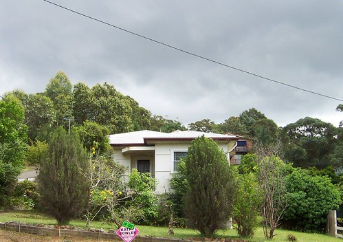
All morning the black clouds hung low over Gosford but there wasn't a speck of rain. As soon as I finished my walk the sky started to clear.
Wells Street East Gosford. With the sold sign on this old place I'm expecting it to be demolished next time I go past and a batch of units planned.
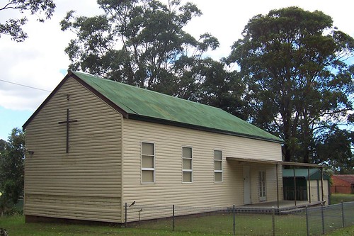
Wells Street Springfield.
This church looked derelict and had no sign up anywhere that I could find. But perhaps they still use it as a hall or as storage.
No idea what denomination. There was no sign. Looks Presbyterian or Anglican to me.
It looked 1940s in style and materials. That strange indentation low on the wall with the cross on it has got me puzzled.
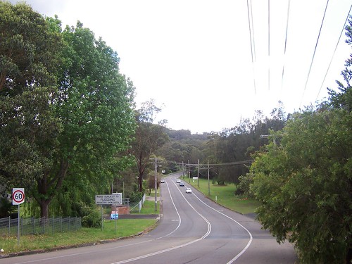
Wells Street Springfield, near Springfield Road.
The sign reads:
"Road subject to flooding
Indicators show depth"
The deepest depth shown by the indicators was 1 metre (1,000 millimetres). The houses opposite the creek were only 500 - 750 millimetres off the ground.
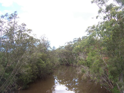
Erina Creek from Yerin Bridge on Barralong Road Springfield.
Looks like it's out the back of beyond but it's scarce a hundred yards from one of the busiest intersections on the Central Coast, The Entrance Road lights at Terrigal Drive, Erina.
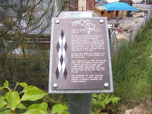
History plaque at Yerin Bridge.
The plaque reads:
"Yerin
Yerin is a powerful metaphore [sic]. It is written in the land at Erina since the Dreaming.
The picture represents the meeting of the salt water amd the fresh water in Erina Creek. The black diamonds represent the fresh water from the land. The shaded diamonds represent the salt water from the sea. The white diamonds are the lines of froth which are made where the tide of salt water rushing in from the sea comes in contact with the fresh water from the land.
But the place where this happens is on the land. It is part of the country, not part of the sea.
Yerin needs the fresh and the salt water, and the violence of their mixing to make a new kind of water, called brackish water. The brackish water cannot survive without both fresh water from the land and the salt water from the sea.
This metaphore has many meanings. Thrugh it we can learn about the difficulty of bringing opposites into creative balance."
When I started reading this my English teacher brain thought 'that second paragraph could do with some tightening up, half of it could be cut without losing the meaning'. But then I realised I was reading it wrong. It's not a standard whitefella information plaque. It's told in the way an Aboriginal elder would talk when passing knowledge and meaning onto younger members of the community. Cool.
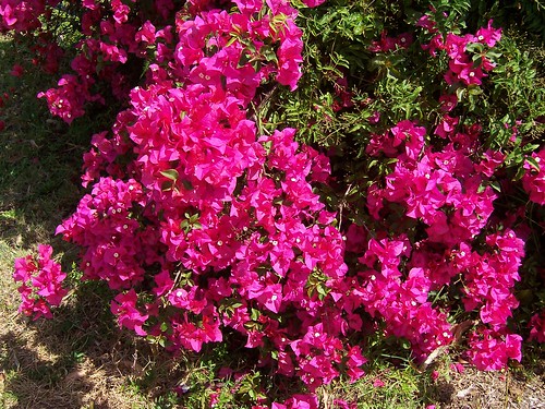
Grevilleas are going nuts all over the Central Coast.
The sun came out just as I finished my walk. Such is life. It was a nice plodding walk. Just one street, no deviations or map consultations. I just plodded along looking at the scenery.
The Gosford end was mixed housing. Plenty of units and plenty of houses. 1900s to 2000s with plenty of 40s and 70s. In the area subject to flooding it was mostly seventies. The suburb must've been running out of cheap land by then and, if you don't mind wading through your living room when the creek rises, a very convenient spot to live. Gosford's five minutes drive one way and Bloody Erina (Erina Fair Shopping Centre) is five minutes the other way. The Erina end of the walk was mostly forties and seventies with a bit of light industry and a couple of horse farms around Noorumba Road.
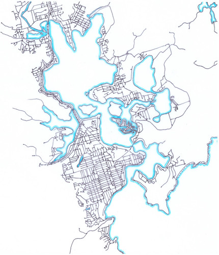
Springfield is at the north-east (top right) corner of Brisbane Water, about 8 kays (4.97 miles) from Woy Woy. It's higher streets must have a view down into Caroline Bay on the east side of Longnose (Point Frederick).
Haven't finished walking the main part of Gosford yet, not by a long shot. This walk was just a brief whatsit. With the weather so hot already I might have only a few more weeks of walkies up Gosford way this year. When it gets too hot even at dawn I'll walk in Woy Woy again like I did last Christmas.
No comments:
Post a Comment