This lot are from just before Christmas. Yattalunga is the handle of the axe-shaped Saratoga & Davistown peninsula. It looks out over Kincumber Broadwater to the east and over the main part of Brisbane Water to the west and north. To get to it turn down Davistown Road from Avoca Drive between Kincumber and Green Point, or catch the ferry from Woy Woy to Davistown and walk up Davistown Road.
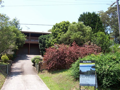
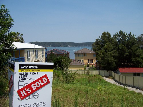
The photo on the sale board I thought was a view from the back of this house showing the Kincumber Broadwater. But it's a view north-west from Yattalunga across Brisbane Water to Point Clare, West Gosford, Longnose (AKA Point Frederick) and Green Point on the right. Have a look on the biggest size.
The photo on the board is good but I wanted to see the Kincumber Broadwater from this angle.
Taken on the other side of Davistown Road, just a few metres down from the photo above. Looking straight across Brisbane Water to Tascott.
Re-organised some photos on Flickr. You can now look at all the Islands of Broken Bay (includes Brisbane Water) on one page.
Bloody sky's clearing again, blast it. It looked like rain earlier so I just nipped out for the paper and went round the block. Might squeeze in a proper walk this afternoon.
No comments:
Post a Comment