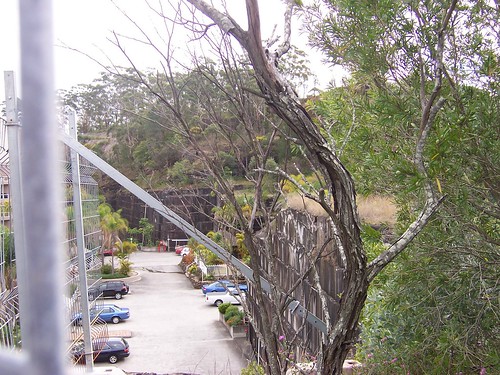
The carpark belongs to the pink block of flats in front of the site. That block won't block the view much.
Don't know yet if the rock walls bear the marks of tidying up to make that carpark or the marks of the last stone cut from them. Haven't found any old photos from when they were still cutting stone from it.
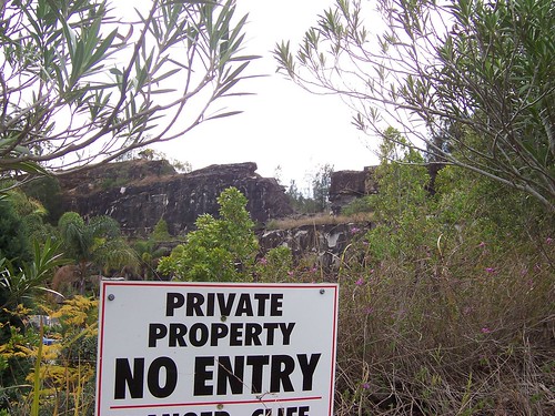
Down near the property line with the pink flats. Behind this sign there's a cliff.
You can see the colour of the sandstone there in the foreground. Dunno much about building foundations but I suspect cutting down into that lot won't come cheap.
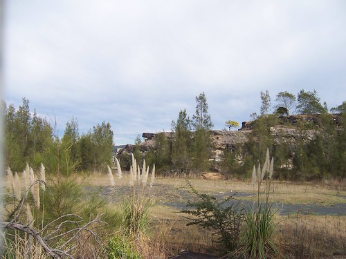
Pampas grass growing in the foreground in the upper part of the quarry.
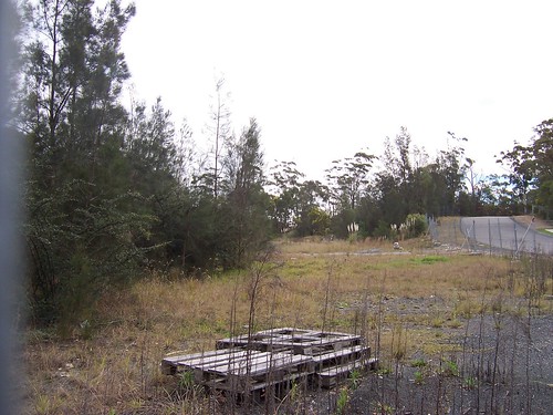
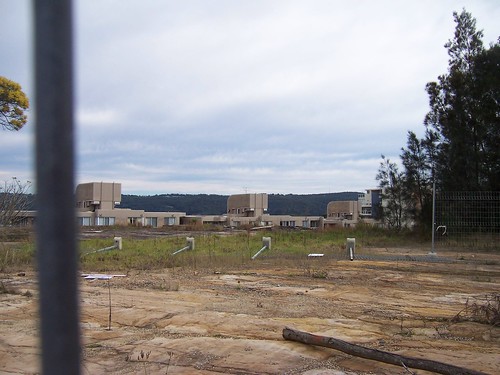
Where there's soil instead of rock it's pretty overgrown. No idea when they stopped quarrying. So far I haven't found a Dear Old Thing who can remember it still active.
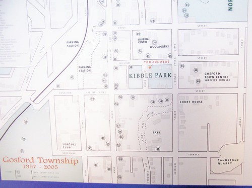
(Embiggulate for clarifaction)
The old quarry is down in the bottom right corner.
Georgiana Terrace no longer continues up as far as it does on this map. It now stops where Gertrude Street crosses it. Neither the upper or lower part of John Whiteway Drive are marked on this map. They start where the top part of the quarry is marked, just past Albany Street. Henry Parry Drive is dotted in (the curve below Kibble Park) and parts of Gertrude Street have been incorporated into Henry Parry Drive.
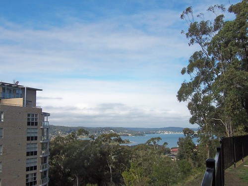
Peeks Point and the east side of Brisbane Water from the flats opposite the old quarry.
There's a video as well. It shows how big the quarry is and gives a much better idea of what the developers might do with the site. I'll bung it up tomorrow.
Windy again today. A cold cruel wind from the sea. The sun was in and out like a nervous virgin. Half the time I was sweating inside my jacket while my ears were going blue with cold. Nice brisk walk though, up hill and down dale and a warming gargle in the pub after.
No comments:
Post a Comment